
Magnitude |
:2.9 |
| Date & Time (UTC) | 2012-04-19 18:01:00.3 |
| Date & Time (Local) | 1391/1/31 22:31:00.3 |
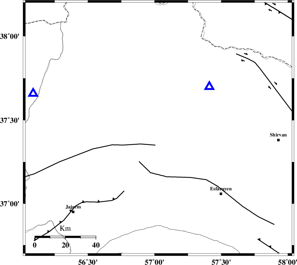
| Location | Lat:37.45 Lon: 57.03 |
| Region | Khorasan(north) Province, 14 km Ashkhaneh |
Nearest Cities |
|
| 14 km of Ashkhaneh, Khorasan(north) Province | |
| 20 km North East of Shogan, Khorasan(north) Province | |
| 23 km South of Pish qaleh, Khorasan(north) Province | |
| 27 km West of Bojnurd, Khorasan(north) Province | |
| 27 km West of Void, Khorasan(north) Province | |
| Depth | 17 km |
| Agency | |
Faults within 150 km: |
|
| ROBATE_QARABIL_F (Length: 168 km) , Distance to epicenter: 11 km | |
| ESFARAYEN_F (Length: 111 km) , Distance to epicenter: 25 km | |
| JAJARAM_F (Length: 77 km) , Distance to epicenter: 47 km | |
| Number of Phases | 7 |
| RMS | 0.1 |
| Number of Stations | 5 |
| Error in Latitude | >1.6 km |
| Error in Longitude | 1.7 km |
| Error in Depth | 3.4 km |
Download waveform in seisan format
to download seisan software Click here
to access information about IIEES stations Click here
Amplitude | ||||||||
| UID | Agency | Station | Component | Amplitude | Period | Arrival Time | Proccessing Time | Signal Clip |
| 82857 | IIEES | MRVT | E | 476.9 | 0.24 | 2012-04-19 18:01:28 | 2012-04-19 06:16:00 | n |
| 82858 | IIEES | MRVT | N | 601.1 | 0.32 | 2012-04-19 18:01:30 | 2012-04-19 06:16:00 | n |
| 82859 | IIEES | SHRO | E | 121.9 | 0.32 | 2012-04-19 18:01:56 | 2012-04-19 06:16:00 | n |
| 82860 | IIEES | SHRO | N | 161.3 | 0.56 | 2012-04-19 18:01:57 | 2012-04-19 06:16:00 | n |
Phase | ||||||||||||
| Agency | Station | Component | Phase Type | Phase Quality | First Motion | Observed Arrival Time | Time Residual | Loc. Flag | Input Weight | Distance | Azimuth | |
| IIEES | BJRD | Z | Pg | E | 2012-04-19 18:01:08 | -0.03 | y | 43.3 | 50 | |||
| IIEES | MRVT | Z | Pg | E | 2012-04-19 18:01:15 | 0.05 | y | 86.5 | 286 | |||
| IIEES | MRVT | E | Sg | E | 2012-04-19 18:01:26 | 0.01 | y | 86.5 | 286 | |||
| IIEES | SHRO | Z | Pn | E | 2012-04-19 18:01:30 | -0.19 | y | 184 | 210 | |||
| IIEES | SHRO | E | Sg | E | 2012-04-19 18:01:52 | -0.01 | y | 184 | 210 | |||
| IIEES | TABS | Z | Pn | E | 2012-04-19 18:02:00 | 0.26 | y | 422 | 179 | |||
| IIEES | SHRT | Z | Pn | E | 2012-04-19 18:02:11 | -0.02 | y | 515 | 144 | |||