
Magnitude |
:2.5 |
| Date & Time (UTC) | 2012-04-19 04:50:25.8 |
| Date & Time (Local) | 1391/1/31 09:20:25.8 |
| Location | Lat:37.54 Lon: 56.76 |
| Region | Khorasan(north) Province, 16 km West of Ashkhaneh |
Nearest Cities |
|
| 16 km West of Ashkhaneh, Khorasan(north) Province | |
| 23 km North of Shogan, Khorasan(north) Province | |
| 25 km South West of Pish qaleh, Khorasan(north) Province | |
| 44 km South East of Garmab, Khorasan(north) Province | |
| 48 km South West of Tangehzar, Khorasan(north) Province | |
| Depth | 18 km |
| Agency | |
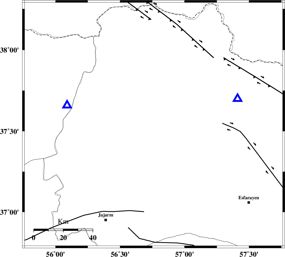
Faults within 150 km: |
|
| ROBATE_QARABIL_F (Length: 168 km) , Distance to epicenter: 21 km | |
| ESFARAYEN_F (Length: 111 km) , Distance to epicenter: 34 km | |
| JAJARAM_F (Length: 77 km) , Distance to epicenter: 52 km | |
| Number of Phases | 5 |
| RMS | 0.1 |
| Number of Stations | 3 |
| Error in Latitude | >2.6 km |
| Error in Longitude | 2.1 km |
| Error in Depth | 33.3 km |
Download waveform in seisan format
to download seisan software Click here
to access information about IIEES stations Click here
Amplitude | ||||||||
| UID | Agency | Station | Component | Amplitude | Period | Arrival Time | Proccessing Time | Signal Clip |
| 82830 | IIEES | BJRD | N | 150.2 | 0.21 | 2012-04-19 04:50:45 | 2012-04-19 05:26:00 | n |
| 82831 | IIEES | MRVT | E | 496 | 0.22 | 2012-04-19 04:50:45 | 2012-04-19 05:26:00 | n |
| 82832 | IIEES | MRVT | N | 442.4 | 0.16 | 2012-04-19 04:50:45 | 2012-04-19 05:26:00 | n |
| 82833 | IIEES | SHRO | E | 32 | 0.45 | 2012-04-19 04:51:21 | 2012-04-19 05:26:00 | n |
Phase | ||||||||||||
| Agency | Station | Component | Phase Type | Phase Quality | First Motion | Observed Arrival Time | Time Residual | Loc. Flag | Input Weight | Distance | Azimuth | |
| IIEES | BJRD | Z | Pg | E | 2012-04-19 04:50:36 | -0.16 | y | 59.6 | 73 | |||
| IIEES | BJRD | N | Sg | E | 2012-04-19 04:50:44 | 0.11 | y | 59.6 | 73 | |||
| IIEES | MRVT | Z | Pg | E | 2012-04-19 04:50:36 | 0.03 | y | 60.8 | 283 | |||
| IIEES | SHRO | Z | Pg | E | 2012-04-19 04:50:56 | 0.02 | y | 183 | 202 | |||
| IIEES | SHRO | N | Sg | E | 2012-04-19 04:51:18 | 0 | y | 183 | 202 | |||