
Magnitude |
:3 |
| Date & Time (UTC) | 2012-04-18 19:18:18.5 |
| Date & Time (Local) | 1391/1/30 23:48:18.5 |
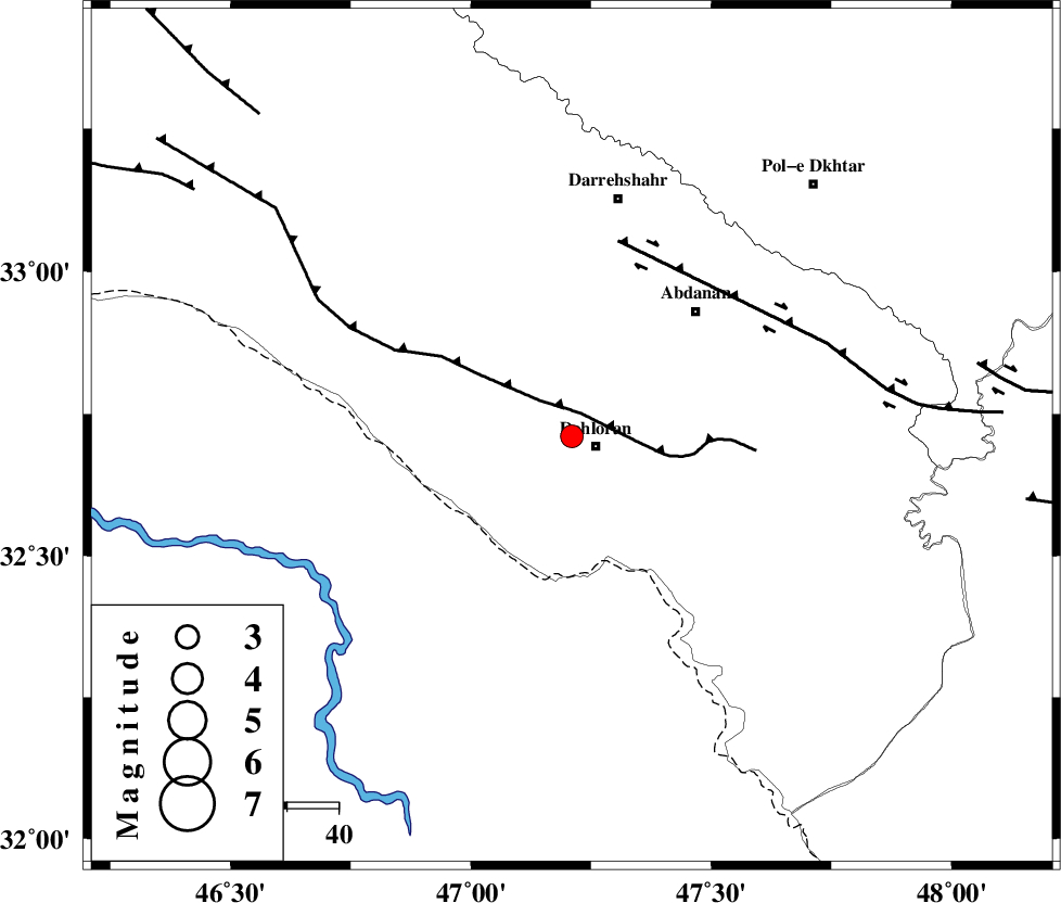
| Location | Lat:32.71 Lon: 47.21 |
| Region | Ilam Province, 5 km Dehloran |
Nearest Cities |
|
| 5 km North of Dehloran, Ilam Province | |
| 23 km North West of Musian, Ilam Province | |
| 25 km South East of Bishehzar, Ilam Province | |
| 34 km South West of Abdanan, Ilam Province | |
| 39 km South West of Sarabbagh, Ilam Province | |
| Depth | 15 km |
| Agency | |
Faults within 150 km: |
|
| MFF6 (Length: 144 km) , Distance to epicenter: 5 km | |
| BALARUD_F_Z1 (Length: 87 km) , Distance to epicenter: 39 km | |
| BALARUD_F_Z3 (Length: 53 km) , Distance to epicenter: 80 km | |
| Number of Phases | 5 |
| RMS | 0.1 |
| Number of Stations | 5 |
| Error in Latitude | >31.3 km |
| Error in Longitude | 23.7 km |
| Error in Depth | 32 km |
Download waveform in seisan format
to download seisan software Click here
to access information about IIEES stations Click here
Amplitude | ||||||||
| UID | Agency | Station | Component | Amplitude | Period | Arrival Time | Proccessing Time | Signal Clip |
| 82809 | IIEES | SHGR | N | 387 | 0.52 | 2012-04-18 19:19:11 | 2012-04-18 07:35:00 | n |
| 82810 | IIEES | SHGR | E | 438.8 | 0.36 | 2012-04-18 19:19:11 | 2012-04-18 07:35:00 | n |
| 82811 | IIEES | SNGE | N | 25.9 | 0.48 | 2012-04-18 19:19:44 | 2012-04-18 07:35:00 | n |
Phase | ||||||||||||
| Agency | Station | Component | Phase Type | Phase Quality | First Motion | Observed Arrival Time | Time Residual | Loc. Flag | Input Weight | Distance | Azimuth | |
| IIEES | SHGR | Z | Pg | E | 2012-04-18 19:18:45 | 0 | y | 164 | 114 | |||
| IIEES | SNGE | Z | Pn | E | 2012-04-18 19:18:59 | 0 | y | 265 | 3 | |||
| IIEES | KHMZ | Z | Pn | E | 2012-04-18 19:19:01 | -0.07 | y | 281 | 65 | |||
| IIEES | ASAO | Z | Pn | E | 2012-04-18 19:19:07 | -0.04 | y | 332 | 51 | |||
| IIEES | GHVR | Z | Pn | E | 2012-04-18 19:19:18 | 0.13 | y | 423 | 61 | |||