
Magnitude |
:2.8 |
| Date & Time (UTC) | 2012-04-18 03:50:03.2 |
| Date & Time (Local) | 1391/1/30 08:20:03.2 |
| Location | Lat:33.11 Lon: 47.19 |
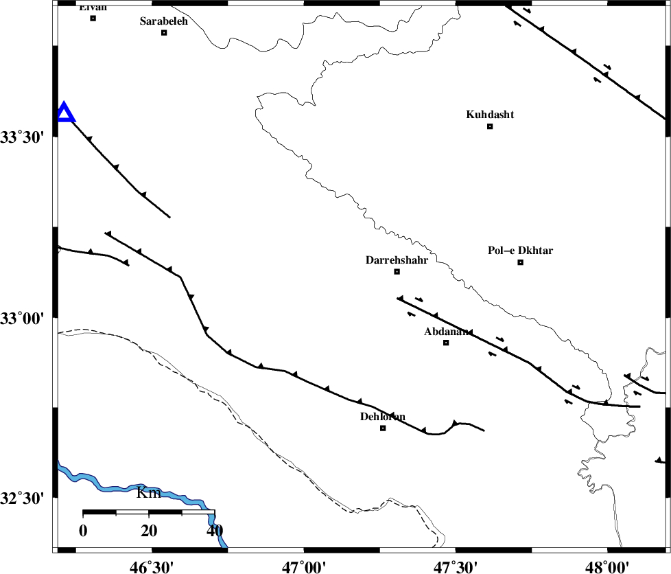
| Region | Ilam Province, 12 km West of Darreh Shahr |
Nearest Cities |
|
| 11 km West of Darreh Shahr, Ilam Province | |
| 15 km West of Dashtabad-e olia, Ilam Province | |
| 27 km South East of Badreh, Ilam Province | |
| 27 km South East of Meymeh, Ilam Province | |
| 32 km South West of Chaqabol, Lorestan Province | |
| Depth | 16 km |
| Agency | |
Faults within 150 km: |
|
| BALARUD_F_Z1 (Length: 87 km) , Distance to epicenter: 13 km | |
| MFF6 (Length: 144 km) , Distance to epicenter: 36 km | |
| MFF7 (Length: 99 km) , Distance to epicenter: 61 km | |
| Number of Phases | 7 |
| RMS | 0.2 |
| Number of Stations | 5 |
| Error in Latitude | >2.7 km |
| Error in Longitude | 4.4 km |
| Error in Depth | 7.1 km |
Download waveform in seisan format
to download seisan software Click here
to access information about IIEES stations Click here
Amplitude | ||||||||
| UID | Agency | Station | Component | Amplitude | Period | Arrival Time | Proccessing Time | Signal Clip |
| 82779 | IIEES | SHGR | N | 102.4 | 0.48 | 2012-04-18 03:51:00 | 2012-04-18 04:45:00 | n |
| 82780 | IIEES | SHGR | E | 125.4 | 0.58 | 2012-04-18 03:51:08 | 2012-04-18 04:45:00 | n |
| 82781 | IIEES | SNGE | N | 66.2 | 0.43 | 2012-04-18 03:51:15 | 2012-04-18 04:45:00 | n |
| 82782 | IIEES | SNGE | E | 74.7 | 0.5 | 2012-04-18 03:51:16 | 2012-04-18 04:45:00 | n |
Phase | ||||||||||||
| Agency | Station | Component | Phase Type | Phase Quality | First Motion | Observed Arrival Time | Time Residual | Loc. Flag | Input Weight | Distance | Azimuth | |
| IIEES | SHGR | Z | Pg | E | 2012-04-18 03:50:34 | 0.17 | y | 188 | 126 | |||
| IIEES | SHGR | E | Sg | E | 2012-04-18 03:50:56 | -0.16 | y | 188 | 126 | |||
| IIEES | SNGE | Z | Pn | E | 2012-04-18 03:50:38 | -0.18 | y | 221 | 4 | |||
| IIEES | KHMZ | Z | Pn | E | 2012-04-18 03:50:44 | -0.07 | y | 268 | 74 | |||
| IIEES | KHMZ | N | Sg | E | 2012-04-18 03:51:18 | -0.01 | y | 268 | 74 | |||
| IIEES | ASAO | Z | Pn | E | 2012-04-18 03:50:49 | 0.3 | y | 308 | 58 | |||
| IIEES | GHVR | Z | Pn | E | 2012-04-18 03:51:01 | -0.03 | y | 406 | 67 | |||