
Magnitude |
:2.6 |
| Date & Time (UTC) | 2012-04-09 08:39:21.2 |
| Date & Time (Local) | 1391/1/21 13:09:21.2 |
| Location | Lat:28.66 Lon: 52.5 |
| Region | Fars Province, 21 km South of Firuz Abad |
Nearest Cities |
|
| 17 km South of Ahmadabad, Fars Province | |
| 17 km West of Jaydasht, Fars Province | |
| 21 km South of Firuz Abad, Fars Province | |
| 27 km North East of Dahrom, Fars Province | |
| 34 km South West of Meymand, Fars Province | |
| Depth | 25 km |
| Agency | |
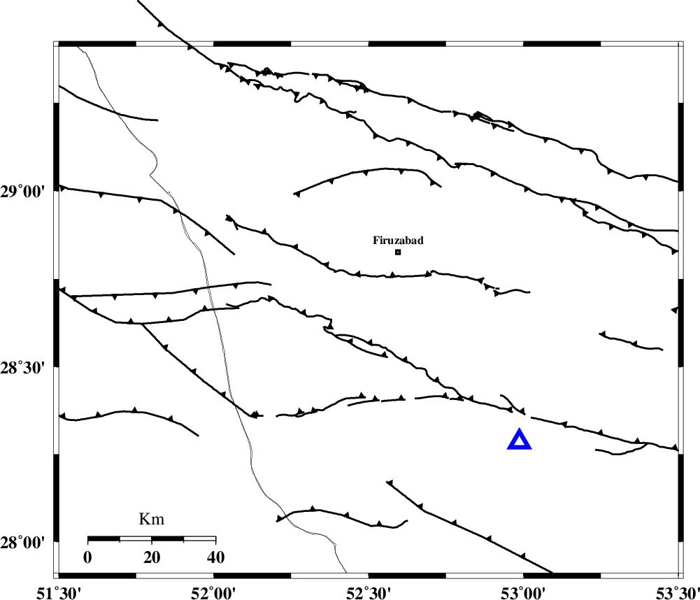
Faults within 150 km: |
|
| QIR_F (Length: 130 km) , Distance to epicenter: 5 km | |
| SABZ_PUSHAN_F_Z1 (Length: 69 km) , Distance to epicenter: 23 km | |
| KAREBASS_F (Length: 98 km) , Distance to epicenter: 38 km | |
| Number of Phases | 4 |
| RMS | 0.6 |
| Number of Stations | 3 |
| Error in Latitude | >7 km |
| Error in Longitude | 2.7 km |
| Error in Depth | 0 km |
Download waveform in seisan format
to download seisan software Click here
to access information about IIEES stations Click here
Amplitude | ||||||||
| UID | Agency | Station | Component | Amplitude | Period | Arrival Time | Proccessing Time | Signal Clip |
| 82767 | IIEES | GHIR | E | 381.5 | 0.4 | 2012-04-09 08:39:50 | 2012-04-16 05:23:00 | n |
| 82768 | IIEES | GHIR | N | 281.7 | 0.22 | 2012-04-09 08:39:52 | 2012-04-16 05:23:00 | n |
Phase | ||||||||||||
| Agency | Station | Component | Phase Type | Phase Quality | First Motion | Observed Arrival Time | Time Residual | Loc. Flag | Input Weight | Distance | Azimuth | |
| IIEES | GHIR | Z | Pg | E | 2012-04-09 08:39:32 | -0.19 | y | 62.9 | 131 | |||
| IIEES | AHRM | Z | Pg | E | 2012-04-09 08:39:41 | 0.91 | y | 120 | 281 | |||
| IIEES | AHRM | N | Sg | E | 2012-04-09 08:39:54 | -0.62 | y | 120 | 281 | |||
| IIEES | NASN | Z | P | E | 2012-04-09 08:40:25 | -0.14 | y | 460 | 4 | |||