
Magnitude |
:3.4 |
| Date & Time (UTC) | 2012-04-15 16:42:27.2 |
| Date & Time (Local) | 1391/1/27 21:12:27.2 |
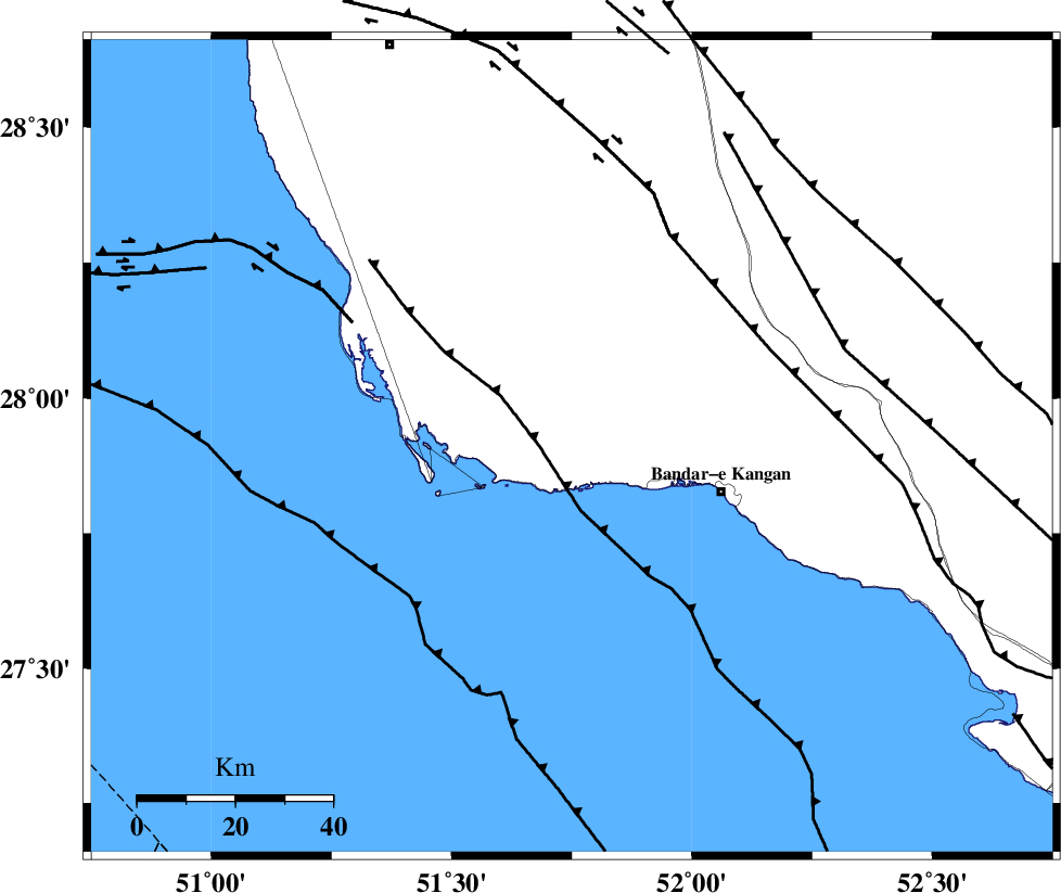
| Location | Lat:27.91 Lon: 51.75 |
| Region | Bushehr Province, 31 km West of Bandar-e kangan |
Nearest Cities |
|
| 19 km South of Abdan, Bushehr Province | |
| 32 km South East of Bardkhun, Bushehr Province | |
| 32 km North West of Bandar-e kangan, Bushehr Province | |
| 35 km South West of Riz, Bushehr Province | |
| 36 km South East of Abkesh, Bushehr Province | |
| Depth | 23 km |
| Agency | |
Faults within 150 km: |
|
| MFF3 (Length: 292 km) , Distance to epicenter: 20 km | |
| BORAZJAN_F (Length: 168 km) , Distance to epicenter: 23 km | |
| ZFF2 (Length: 84 km) , Distance to epicenter: 44 km | |
| Number of Phases | 5 |
| RMS | 0.1 |
| Number of Stations | 3 |
| Error in Latitude | >4.5 km |
| Error in Longitude | 2.5 km |
| Error in Depth | 5.5 km |
Download waveform in seisan format
to download seisan software Click here
to access information about IIEES stations Click here
Amplitude | ||||||||
| UID | Agency | Station | Component | Amplitude | Period | Arrival Time | Proccessing Time | Signal Clip |
| 82756 | IIEES | AHRM | N | 1206.8 | 0.48 | 2012-04-15 16:43:04 | 2012-04-15 05:13:00 | n |
| 82757 | IIEES | AHRM | E | 728.4 | 0.48 | 2012-04-15 16:43:04 | 2012-04-15 05:13:00 | n |
| 82758 | IIEES | GHIR | E | 766.1 | 0.28 | 2012-04-15 16:43:09 | 2012-04-15 05:13:00 | n |
| 82759 | IIEES | GHIR | N | 730.8 | 0.36 | 2012-04-15 16:43:10 | 2012-04-15 05:13:00 | n |
Phase | ||||||||||||
| Agency | Station | Component | Phase Type | Phase Quality | First Motion | Observed Arrival Time | Time Residual | Loc. Flag | Input Weight | Distance | Azimuth | |
| IIEES | AHRM | Z | Pg | E | 2012-04-15 16:42:46 | -0.1 | y | 115 | 337 | |||
| IIEES | AHRM | N | Sg | E | 2012-04-15 16:43:00 | 0.06 | y | 115 | 337 | |||
| IIEES | GHIR | Z | Pg | E | 2012-04-15 16:42:48 | 0.1 | y | 128 | 71 | |||
| IIEES | GHIR | N | Sg | E | 2012-04-15 16:43:03 | -0.06 | y | 128 | 71 | |||
| IIEES | KRBR | Z | Pn | E | 2012-04-15 16:43:41 | 0 | y | 540 | 64 | |||