
Magnitude |
:2.7 |
| Date & Time (UTC) | 2012-04-04 02:31:51.7 |
| Date & Time (Local) | 1391/1/16 07:01:51.7 |
| Location | Lat:33.58 Lon: 49.09 |
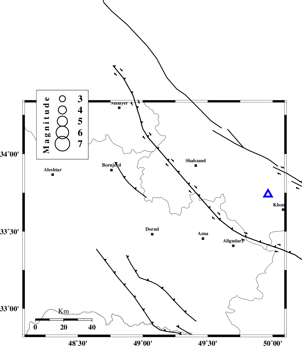
| Region | Lorestan Province, 11 km Dorud |
Nearest Cities |
|
| 5 km North of Zhan, Lorestan Province | |
| 11 km North of Dorud, Lorestan Province | |
| 12 km North East of Void, Lorestan Province | |
| 13 km East of Kagheh, Lorestan Province | |
| 16 km North of Heshmatabad, Lorestan Province | |
| Depth | 15 km |
| Agency | |
Faults within 150 km: |
|
| MAIN_ZAGROS_R_F (Length: 1106 km) , Distance to epicenter: 9 km | |
| DORUD (Length: 100 km) , Distance to epicenter: 9 km | |
| NAHAVAND_F (Length: 102 km) , Distance to epicenter: 40 km | |
| Number of Phases | 7 |
| RMS | 0.2 |
| Number of Stations | 5 |
| Error in Latitude | >2 km |
| Error in Longitude | 2.6 km |
| Error in Depth | 4.8 km |
Download waveform in seisan format
to download seisan software Click here
to access information about IIEES stations Click here
Amplitude | ||||||||
| UID | Agency | Station | Component | Amplitude | Period | Arrival Time | Proccessing Time | Signal Clip |
| 82639 | IIEES | SHGR | E | 93.3 | 0.44 | 2012-04-04 02:32:45 | 2012-04-04 02:58:00 | n |
| 82640 | IIEES | SHGR | N | 201.9 | 0.44 | 2012-04-04 02:32:47 | 2012-04-04 02:58:00 | n |
| 82641 | IIEES | GHVR | E | 35.7 | 0.56 | 2012-04-04 02:33:04 | 2012-04-04 02:58:00 | n |
| 82642 | IIEES | SNGE | N | 39.8 | 0.44 | 2012-04-04 02:33:00 | 2012-04-04 02:58:00 | n |
Phase | ||||||||||||
| Agency | Station | Component | Phase Type | Phase Quality | First Motion | Observed Arrival Time | Time Residual | Loc. Flag | Input Weight | Distance | Azimuth | |
| IIEES | KHMZ | Z | Pg | E | 2012-04-04 02:32:05 | -0.21 | y | 83.3 | 77 | |||
| IIEES | KHMZ | N | Sg | E | 2012-04-04 02:32:16 | -0.11 | y | 83.3 | 77 | |||
| IIEES | ASAO | Z | Pg | E | 2012-04-04 02:32:15 | 0.16 | y | 138 | 38 | |||
| IIEES | ASAO | E | Sg | E | 2012-04-04 02:32:31 | 0.08 | y | 138 | 38 | |||
| IIEES | SHGR | Z | Pg | E | 2012-04-04 02:32:19 | 0.1 | y | 165 | 189 | |||
| IIEES | GHVR | Z | Pn | E | 2012-04-04 02:32:27 | 0.18 | y | 223 | 63 | |||
| IIEES | SNGE | Z | Pn | E | 2012-04-04 02:32:28 | -0.19 | y | 232 | 317 | |||