
Magnitude |
:3.5 |
| Date & Time (UTC) | 2012-03-28 04:50:45.1 |
| Date & Time (Local) | 1391/1/9 09:20:45.1 |
| Location | Lat:31.87 Lon: 46.56 |
| Region | Iraq |
Nearest Cities |
|
| 106 km South West of Musian, Ilam Province | |
| 113 km South West of Dehloran, Ilam Province | |
| 113 km South West of Bishehzar, Ilam Province | |
| 136 km North West of Bostan, Khoozestan Province | |
| 144 km South East of Mehran, Ilam Province | |
| Depth | 39 km |
| Agency | |
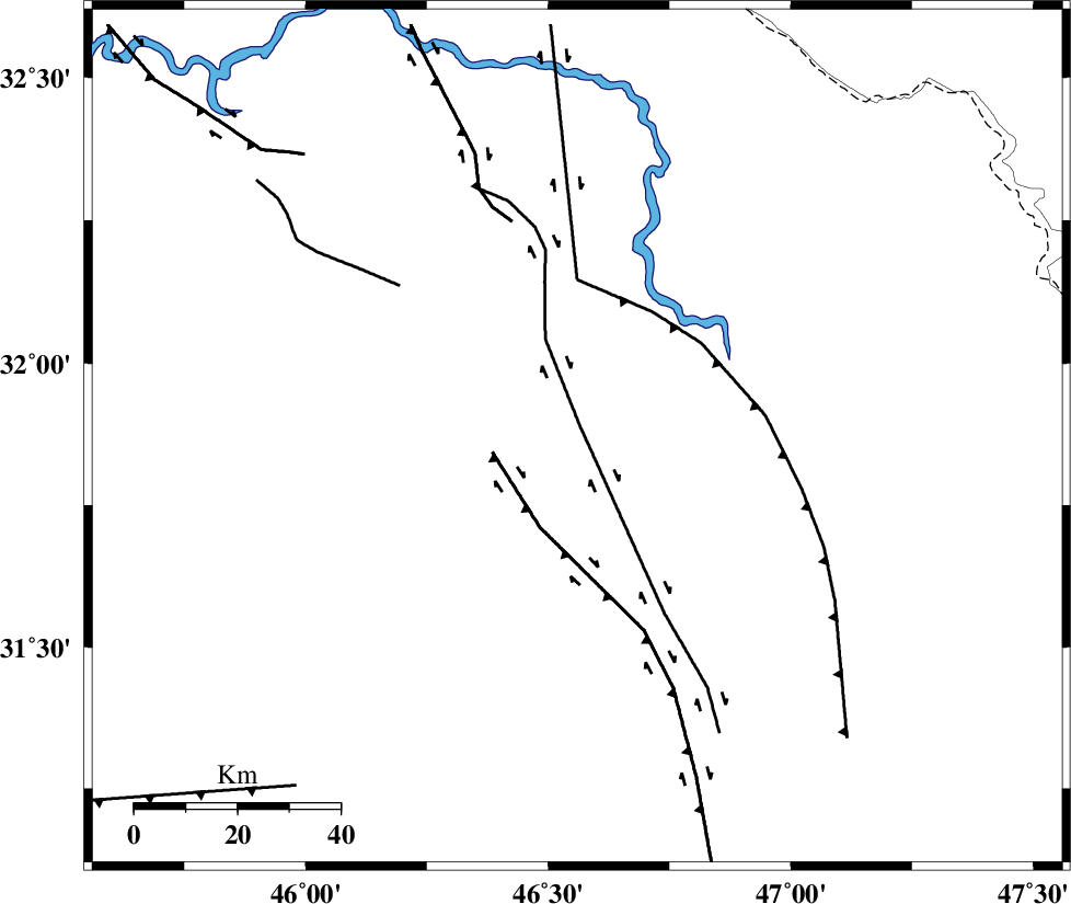
Faults within 150 km: |
|
| MFF6 (Length: 144 km) , Distance to epicenter: 113 km | |
| ZFF4 (Length: 128 km) , Distance to epicenter: 142 km | |
| BALARUD_F_Z1 (Length: 87 km) , Distance to epicenter: 149 km | |
| Number of Phases | 7 |
| RMS | 0.1 |
| Number of Stations | 6 |
| Error in Latitude | >7.6 km |
| Error in Longitude | 5.6 km |
| Error in Depth | 5.7 km |
Download waveform in seisan format
to download seisan software Click here
to access information about IIEES stations Click here
Amplitude | ||||||||
| UID | Agency | Station | Component | Amplitude | Period | Arrival Time | Proccessing Time | Signal Clip |
| 82570 | IIEES | SNGE | N | 96 | 0.54 | 2012-03-28 04:52:21 | 2012-03-28 06:02:00 | n |
| 82571 | IIEES | SNGE | E | 121.4 | 0.62 | 2012-03-28 04:52:22 | 2012-03-28 06:02:00 | n |
Phase | ||||||||||||
| Agency | Station | Component | Phase Type | Phase Quality | First Motion | Observed Arrival Time | Time Residual | Loc. Flag | Input Weight | Distance | Azimuth | |
| IIEES | SHGR | Z | Pg | E | 2012-03-28 04:51:19 | 0.02 | y | 213 | 82 | |||
| IIEES | SHGR | E | Sg | E | 2012-03-28 04:51:44 | -0.02 | y | 213 | 82 | |||
| IIEES | SNGE | Z | Pn | E | 2012-03-28 04:51:36 | -0.04 | y | 365 | 11 | |||
| IIEES | KHMZ | Z | Pn | E | 2012-03-28 04:51:37 | -0.15 | y | 380 | 56 | |||
| IIEES | ASAO | Z | Pn | E | 2012-03-28 04:51:45 | -0.02 | y | 439 | 46 | |||
| IIEES | GHVR | Z | Pn | E | 2012-03-28 04:51:56 | 0.34 | y | 524 | 55 | |||
| IIEES | NASN | Z | Pn | E | 2012-03-28 04:52:04 | -0.08 | y | 597 | 78 | |||