
Magnitude |
:2.8 |
| Date & Time (UTC) | 2012-03-24 02:23:48.0 |
| Date & Time (Local) | 1391/1/5 06:53:48.0 |
| Location | Lat:31.99 Lon: 49.77 |
| Region | Khoozestan Province, 19 km North-West of Izeh |
Nearest Cities |
|
| 5 km of Torshak, Khoozestan Province | |
| 14 km North of Rasvand, Khoozestan Province | |
| 20 km North of Izeh, Khoozestan Province | |
| 22 km North of Chenarestan, Khoozestan Province | |
| 39 km South East of Paabshalal, Khoozestan Province | |
| Depth | 14 km |
| Agency | |
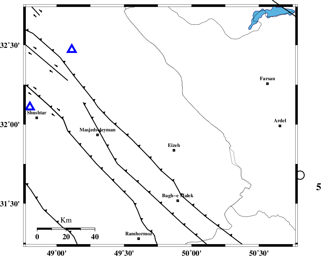
Faults within 150 km: |
|
| MFF2 (Length: 205 km) , Distance to epicenter: 3 km | |
| ZARDKUH_F (Length: 139 km) , Distance to epicenter: 42 km | |
| DEZFUL_EMBAYMENT (Length: 228 km) , Distance to epicenter: 43 km | |
| Number of Phases | 6 |
| RMS | 0.1 |
| Number of Stations | 5 |
| Error in Latitude | >2.3 km |
| Error in Longitude | 3.4 km |
| Error in Depth | 5.1 km |
Download waveform in seisan format
to download seisan software Click here
to access information about IIEES stations Click here
Amplitude | ||||||||
| UID | Agency | Station | Component | Amplitude | Period | Arrival Time | Proccessing Time | Signal Clip |
| 82505 | IIEES | SHGR | E | 314.6 | 0.52 | 2012-03-24 02:24:20 | 2012-03-24 01:35:00 | n |
| 82506 | IIEES | SHGR | N | 247.1 | 0.64 | 2012-03-24 02:24:20 | 2012-03-24 01:35:00 | n |
| 82507 | IIEES | GHVR | E | 13.5 | 0.64 | 2012-03-24 02:25:19 | 2012-03-24 01:35:00 | n |
| 82508 | IIEES | GHVR | N | 92.3 | 1.04 | 2012-03-24 02:25:24 | 2012-03-24 01:35:00 | n |
Phase | ||||||||||||
| Agency | Station | Component | Phase Type | Phase Quality | First Motion | Observed Arrival Time | Time Residual | Loc. Flag | Input Weight | Distance | Azimuth | |
| IIEES | SHGR | Z | Pg | E | 2012-03-24 02:24:03 | 0.04 | y | 92.4 | 279 | |||
| IIEES | KHMZ | Z | Pn | E | 2012-03-24 02:24:19 | -0.19 | y | 195 | 5 | |||
| IIEES | KHMZ | N | Sg | E | 2012-03-24 02:24:43 | 0.05 | y | 195 | 5 | |||
| IIEES | ASAO | Z | Pn | E | 2012-03-24 02:24:31 | 0.01 | y | 285 | 5 | |||
| IIEES | NASN | Z | Pn | E | 2012-03-24 02:24:33 | 0.04 | y | 300 | 72 | |||
| IIEES | GHVR | Z | Pn | E | 2012-03-24 02:24:34 | 0.06 | y | 309 | 26 | |||