
Magnitude |
:3.6 |
| Date & Time (UTC) | 2012-03-11 05:28:36.3 |
| Date & Time (Local) | 1390/12/21 08:58:36.3 |
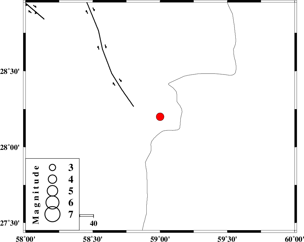
| Location | Lat:28.2 Lon: 59 |
| Region | Kerman Province, 119 km South-East of Bam |
Nearest Cities |
|
| 51 km North East of Borj-e abbasabad, Kerman Province | |
| 56 km South of Hoseynabad, Kerman Province | |
| 59 km South East of Mohammadabad-e gonbaki, Kerman Province | |
| 75 km South East of Void, Kerman Province | |
| 82 km South East of Mardehak, Kerman Province | |
| Depth | 15 km |
| Agency | |
Faults within 150 km: |
|
| BAM_F (Length: 118 km) , Distance to epicenter: 21 km | |
| KANURAK_F (Length: 135 km) , Distance to epicenter: 103 km | |
| GOWK_F (Length: 152 km) , Distance to epicenter: 110 km | |
| Number of Phases | 5 |
| RMS | 0.1 |
| Number of Stations | 5 |
| Error in Latitude | >1.6 km |
| Error in Longitude | 1.4 km |
| Error in Depth | 0 km |
Download waveform in seisan format
to download seisan software Click here
to access information about IIEES stations Click here
Amplitude | ||||||||
| UID | Agency | Station | Component | Amplitude | Period | Arrival Time | Proccessing Time | Signal Clip |
| 82263 | IIEES | BNDS | N | 270.3 | 0.49 | 2012-03-11 05:29:58 | 2012-03-11 04:45:00 | n |
Phase | ||||||||||||
| Agency | Station | Component | Phase Type | Phase Quality | First Motion | Observed Arrival Time | Time Residual | Loc. Flag | Input Weight | Distance | Azimuth | |
| IIEES | ZHSF | Z | Pn | E | 2012-03-11 05:29:13 | 0.07 | y | 234 | 48 | |||
| IIEES | BNDS | Z | Pn | E | 2012-03-11 05:29:20 | 0.02 | y | 292 | 253 | |||
| IIEES | CHBR | Z | Pn | E | 2012-03-11 05:29:24 | -0.03 | y | 324 | 153 | |||
| IIEES | SHRT | Z | Pn | E | 2012-03-11 05:30:00 | -0.17 | y | 616 | 11 | |||
| IIEES | TABS | Z | Pn | E | 2012-03-11 05:30:02 | 0.05 | y | 630 | 344 | |||