
Magnitude |
:4.2 |
| Date & Time (UTC) | 2012-03-11 05:00:05.5 |
| Date & Time (Local) | 1390/12/21 08:30:05.5 |
| Location | Lat:28.07 Lon: 59.02 |
| Region | Sistan va Baloochestan Province, 131 km North-East of Kahnuj |
Nearest Cities |
|
| 50 km North East of Borj-e abbasabad, Kerman Province | |
| 71 km South of Hoseynabad, Kerman Province | |
| 73 km South East of Mohammadabad-e gonbaki, Kerman Province | |
| 80 km North West of Kalemursi, Sistan va Baloochestan Province | |
| 88 km South East of Mardehak, Kerman Province | |
| Depth | 15 km |
| Agency | |
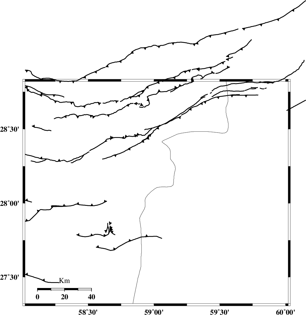
Faults within 150 km: |
|
| BAM_F (Length: 118 km) , Distance to epicenter: 30 km | |
| KANURAK_F (Length: 135 km) , Distance to epicenter: 114 km | |
| JIROFT_F (Length: 144 km) , Distance to epicenter: 120 km | |
| Number of Phases | 6 |
| RMS | 0.3 |
| Number of Stations | 6 |
| Error in Latitude | >3.1 km |
| Error in Longitude | 2.7 km |
| Error in Depth | 0 km |
Download waveform in seisan format
to download seisan software Click here
to access information about IIEES stations Click here
Amplitude | ||||||||
| UID | Agency | Station | Component | Amplitude | Period | Arrival Time | Proccessing Time | Signal Clip |
| 82257 | IIEES | ZHSF | N | 973.3 | 0.53 | 2012-03-11 05:01:17 | 2012-03-11 04:14:00 | n |
| 82258 | IIEES | ZHSF | E | 1049.5 | 0.6 | 2012-03-11 05:01:19 | 2012-03-11 04:14:00 | n |
| 82259 | IIEES | BNDS | N | 1531.1 | 0.42 | 2012-03-11 05:01:30 | 2012-03-11 04:14:00 | n |
| 82260 | IIEES | BNDS | E | 1290.1 | 0.46 | 2012-03-11 05:01:31 | 2012-03-11 04:14:00 | n |
| 82261 | IIEES | CHBR | N | 771 | 0.45 | 2012-03-11 05:01:45 | 2012-03-11 04:14:00 | n |
| 82262 | IIEES | CHBR | E | 752.3 | 0.62 | 2012-03-11 05:01:55 | 2012-03-11 04:14:00 | n |
Phase | ||||||||||||
| Agency | Station | Component | Phase Type | Phase Quality | First Motion | Observed Arrival Time | Time Residual | Loc. Flag | Input Weight | Distance | Azimuth | |
| IIEES | ZHSF | Z | Pn | E | 2012-03-11 05:00:43 | 0.28 | y | 242 | 45 | |||
| IIEES | BNDS | Z | Pn | E | 2012-03-11 05:00:49 | 0.21 | y | 291 | 256 | |||
| IIEES | CHBR | Z | Pn | E | 2012-03-11 05:00:51 | -0.18 | y | 311 | 152 | |||
| IIEES | SHRT | Z | Pn | E | 2012-03-11 05:01:31 | -0.06 | y | 630 | 11 | |||
| IIEES | TABS | Z | Pn | E | 2012-03-11 05:01:32 | -0.62 | y | 645 | 344 | |||
| IIEES | MRVT | Z | Pn | E | 2012-03-11 05:02:29 | 0.27 | y | 1098 | 346 | |||