
Magnitude |
:3.6 |
| Date & Time (UTC) | 2012-03-06 06:34:25.3 |
| Date & Time (Local) | 1390/12/16 10:04:25.3 |
| Location | Lat:35.82 Lon: 54.26 |
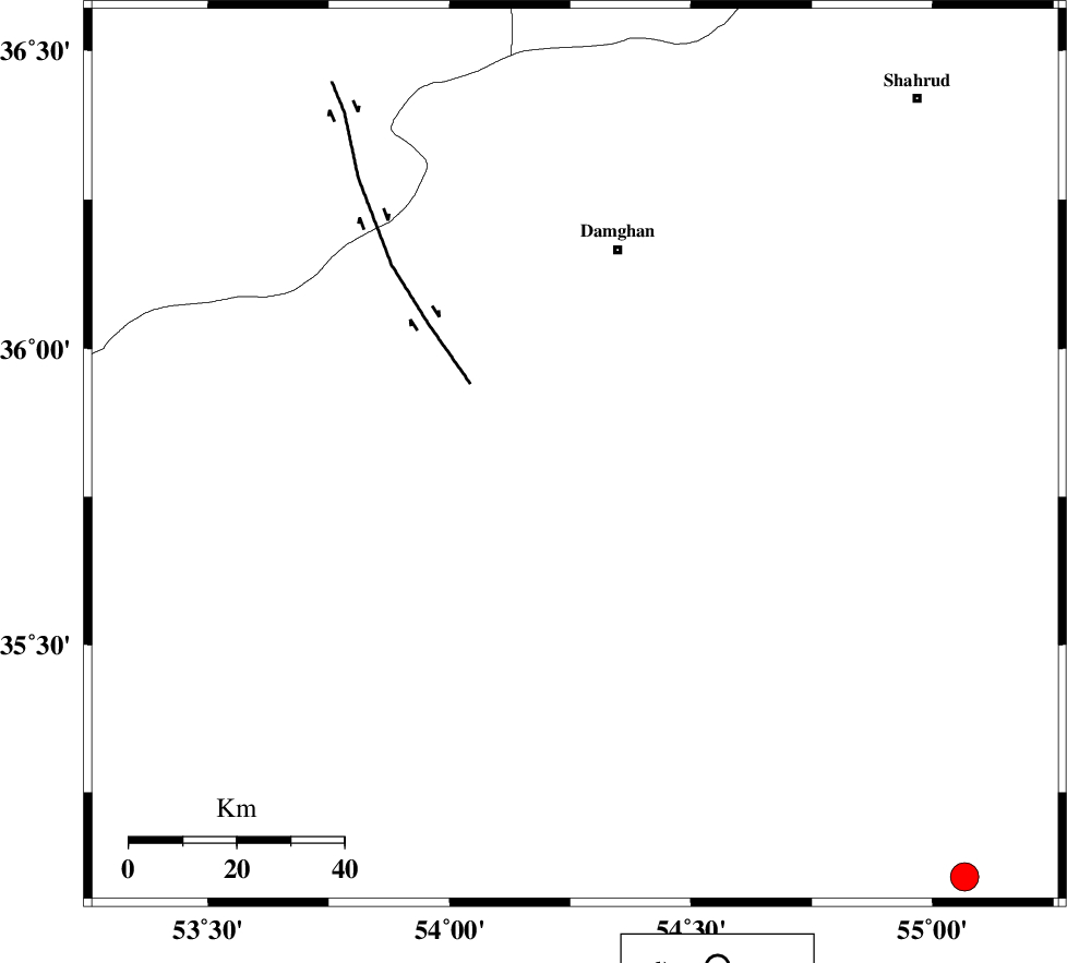
| Region | Semnan Province, 39 km South of Damghan |
Nearest Cities |
|
| 25 km South East of Amirabad, Semnan Province | |
| 28 km South East of Seydabad, Semnan Province | |
| 37 km South East of Darvar, Semnan Province | |
| 39 km South of Damghan, Semnan Province | |
| 52 km South West of Mehmandust, Semnan Province | |
| Depth | 16 km |
| Agency | |
Faults within 150 km: |
|
| ATARI_F (Length: 185 km) , Distance to epicenter: 33 km | |
| DAMGHAN_F (Length: 95 km) , Distance to epicenter: 44 km | |
| ASTANEH_F (Length: 72 km) , Distance to epicenter: 52 km | |
| Number of Phases | 8 |
| RMS | 0.3 |
| Number of Stations | 7 |
| Error in Latitude | >5 km |
| Error in Longitude | 2.4 km |
| Error in Depth | 6.3 km |
Download waveform in seisan format
to download seisan software Click here
to access information about IIEES stations Click here
Amplitude | ||||||||
| UID | Agency | Station | Component | Amplitude | Period | Arrival Time | Proccessing Time | Signal Clip |
| 82165 | IIEES | THKV | N | 217.9 | 0.51 | 2012-03-06 06:35:57 | 2012-03-06 06:30:00 | n |
Phase | ||||||||||||
| Agency | Station | Component | Phase Type | Phase Quality | First Motion | Observed Arrival Time | Time Residual | Loc. Flag | Input Weight | Distance | Azimuth | |
| IIEES | SHRO | Z | Pg | E | 2012-03-06 06:34:51 | 0.07 | y | 159 | 82 | |||
| IIEES | CHTH | Z | Pn | E | 2012-03-06 06:35:08 | 0.44 | y | 283 | 273 | |||
| IIEES | THKV | Z | Pn | E | 2012-03-06 06:35:11 | 0.12 | y | 306 | 273 | |||
| IIEES | THKV | N | Sg | E | 2012-03-06 06:35:51 | -0.07 | y | 306 | 273 | |||
| IIEES | BJRD | Z | Pn | E | 2012-03-06 06:35:16 | -0.33 | y | 350 | 53 | |||
| IIEES | TABS | Z | Pn | E | 2012-03-06 06:35:17 | 0.3 | y | 356 | 132 | |||
| IIEES | NASN | Z | Pn | E | 2012-03-06 06:35:17 | -0.3 | y | 361 | 202 | |||
| IIEES | ASAO | Z | Pn | E | 2012-03-06 06:35:23 | -0.32 | y | 411 | 251 | |||