
Magnitude |
:3.5 |
| Date & Time (UTC) | 2012-02-25 22:09:29.7 |
| Date & Time (Local) | 1390/12/7 01:39:29.7 |
| Location | Lat:30.49 Lon: 51.25 |
| Region | Fars Province, 37 km South-West of Yasuj |
Nearest Cities |
|
| 15 km North West of Chehar taq, Fars Province | |
| 17 km South West of Sepidar, Kohkiluieh va boyerahmad Province | |
| 17 km North of Basht, Kohkiluieh va boyerahmad Province | |
| 18 km North of Kopon olia, Fars Province | |
| 20 km North East of Abdehgah, Kohkiluieh va boyerahmad Province | |
| Depth | 38 km |
| Agency | |
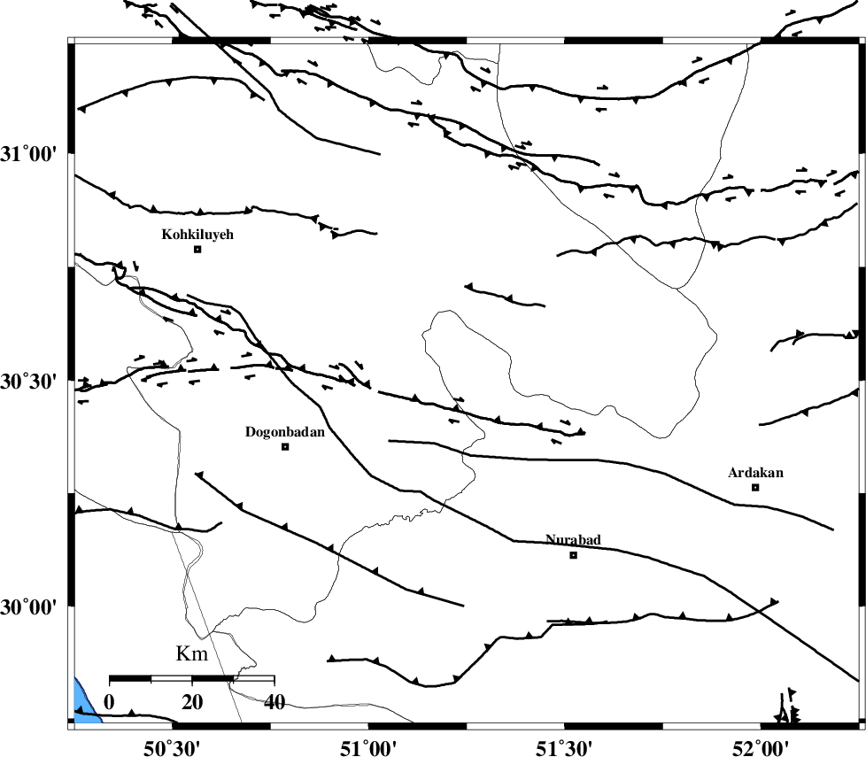
Faults within 150 km: |
|
| KAZERUN_F (Length: 96 km) , Distance to epicenter: 28 km | |
| MISHAN_F (Length: 76 km) , Distance to epicenter: 28 km | |
| DENA_F (Length: 137 km) , Distance to epicenter: 49 km | |
| Number of Phases | 6 |
| RMS | 0.3 |
| Number of Stations | 5 |
| Error in Latitude | >2.2 km |
| Error in Longitude | 5 km |
| Error in Depth | 6 km |
Download waveform in seisan format
to download seisan software Click here
to access information about IIEES stations Click here
Amplitude | ||||||||
| UID | Agency | Station | Component | Amplitude | Period | Arrival Time | Proccessing Time | Signal Clip |
| 82011 | IIEES | AHRM | E | 569.2 | 0.48 | 2012-02-25 22:10:26 | 2012-02-25 10:00:00 | n |
| 82012 | IIEES | AHRM | N | 615.3 | 0.6 | 2012-02-25 22:10:27 | 2012-02-25 10:00:00 | n |
| 82013 | IIEES | SHGR | N | 230.9 | 0.68 | 2012-02-25 22:11:05 | 2012-02-25 10:00:00 | n |
| 82014 | IIEES | GHIR | N | 173.8 | 0.4 | 2012-02-25 22:11:03 | 2012-02-25 10:00:00 | n |
| 82015 | IIEES | GHIR | E | 208.3 | 0.6 | 2012-02-25 22:11:11 | 2012-02-25 10:00:00 | n |
Phase | ||||||||||||
| Agency | Station | Component | Phase Type | Phase Quality | First Motion | Observed Arrival Time | Time Residual | Loc. Flag | Input Weight | Distance | Azimuth | |
| IIEES | AHRM | Z | Pg | E | 2012-02-25 22:09:58 | -0.1 | y | 180 | 178 | |||
| IIEES | SHGR | Z | Pn | E | 2012-02-25 22:10:11 | 0.36 | y | 294 | 308 | |||
| IIEES | NASN | Z | Pn | E | 2012-02-25 22:10:12 | -0.05 | y | 296 | 30 | |||
| IIEES | NASN | N | Sg | E | 2012-02-25 22:10:51 | 0.11 | y | 296 | 30 | |||
| IIEES | GHIR | Z | Pn | E | 2012-02-25 22:10:12 | 0.12 | y | 297 | 145 | |||
| IIEES | KHMZ | Z | Pn | E | 2012-02-25 22:10:22 | -0.49 | y | 380 | 342 | |||