
Magnitude |
:2.6 |
| Date & Time (UTC) | 2012-02-17 03:50:29.9 |
| Date & Time (Local) | 1390/11/28 07:20:29.9 |
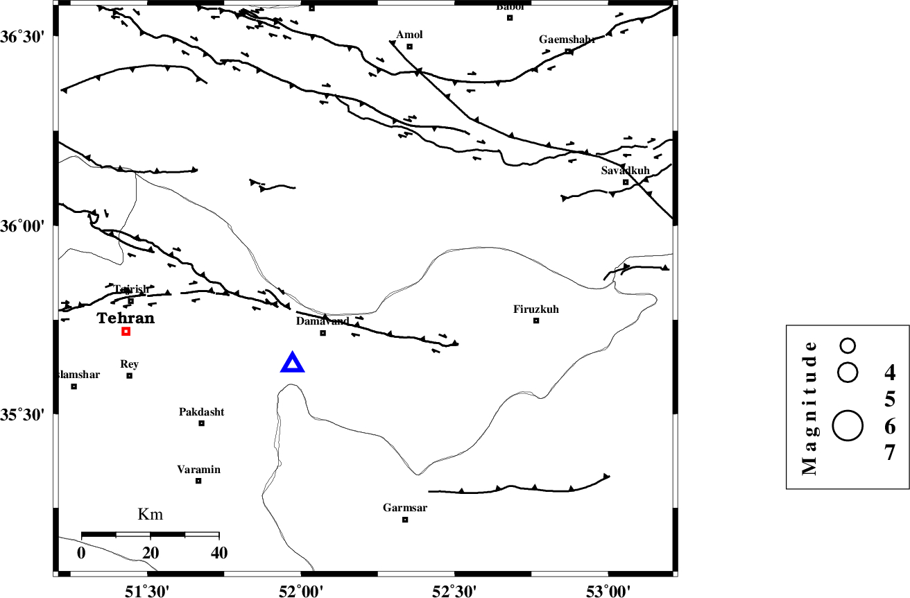
| Location | Lat:35.83 Lon: 52.21 |
| Region | Mazandaran Province, 18 km North-East of Damavand |
Nearest Cities |
|
| 7 km of Rineh, Mazandaran Province | |
| 9 km of Gaznak, Mazandaran Province | |
| 18 km North East of Damavand, Tehran Province | |
| 19 km South of Baijan, Mazandaran Province | |
| 20 km North East of Abali, Tehran Province | |
| Depth | 14 km |
| Agency | |
Faults within 150 km: |
|
| MOSHA_F (Length: 234 km) , Distance to epicenter: 14 km | |
| N_TEHRAN_F4 (Length: 115 km) , Distance to epicenter: 38 km | |
| KANDOVAN_F (Length: 90 km) , Distance to epicenter: 48 km | |
| Number of Phases | 5 |
| RMS | 0.1 |
| Number of Stations | 3 |
| Error in Latitude | >4.2 km |
| Error in Longitude | 5.4 km |
| Error in Depth | 6.7 km |
Download waveform in seisan format
to download seisan software Click here
to access information about IIEES stations Click here
Amplitude | ||||||||
| UID | Agency | Station | Component | Amplitude | Period | Arrival Time | Proccessing Time | Signal Clip |
| 81905 | IIEES | GHVR | E | 96 | 0.4 | 2012-02-17 03:51:22 | 2012-02-17 07:54:00 | n |
| 81906 | IIEES | GHVR | N | 60.4 | 0.4 | 2012-02-17 03:51:22 | 2012-02-17 07:54:00 | n |
Phase | ||||||||||||
| Agency | Station | Component | Phase Type | Phase Quality | First Motion | Observed Arrival Time | Time Residual | Loc. Flag | Input Weight | Distance | Azimuth | |
| IIEES | CHTH | Z | P | E | 2012-02-17 03:50:46 | -0.11 | y | 98.6 | 275 | |||
| IIEES | CHTH | E | Sg | E | 2012-02-17 03:50:59 | -0.06 | y | 98.6 | 275 | |||
| IIEES | THKV | Z | Pg | E | 2012-02-17 03:50:51 | 0.13 | y | 121 | 275 | |||
| IIEES | THKV | N | Sg | E | 2012-02-17 03:51:06 | 0.04 | y | 121 | 275 | |||
| IIEES | GHVR | Z | P | E | 2012-02-17 03:50:58 | 0 | y | 174 | 211 | |||