
Magnitude |
:3.4 |
| Date & Time (UTC) | 2012-01-19 19:17:15.5 |
| Date & Time (Local) | 1390/10/29 22:47:15.5 |
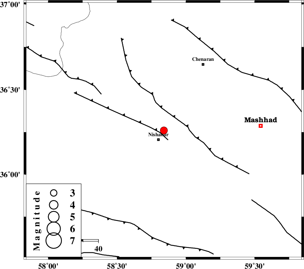
| Location | Lat:36.26 Lon: 58.84 |
| Region | Khorasan(center) Province, 7 km Neyshabur |
Nearest Cities |
|
| 7 km North of Neyshabur, Khorasan(center) Province | |
| 12 km North of Abusaeedi, Khorasan(center) Province | |
| 14 km North East of Fatanabad, Khorasan(center) Province | |
| 23 km East of Bozgan, Khorasan(center) Province | |
| 25 km South East of Qalibaf, Khorasan(center) Province | |
| Depth | 14 km |
| Agency | |
Faults within 150 km: |
|
| NAYSHABUR_F (Length: 74 km) , Distance to epicenter: 3 km | |
| BINALUD_F1 (Length: 129 km) , Distance to epicenter: 15 km | |
| RIVAND_F (Length: 70 km) , Distance to epicenter: 47 km | |
| Number of Phases | 5 |
| RMS | 0.2 |
| Number of Stations | 4 |
| Error in Latitude | >4.5 km |
| Error in Longitude | 6.7 km |
| Error in Depth | 8.6 km |
Download waveform in seisan format
to download seisan software Click here
to access information about IIEES stations Click here
Amplitude | ||||||||
| UID | Agency | Station | Component | Amplitude | Period | Arrival Time | Proccessing Time | Signal Clip |
| 81484 | IIEES | BJRD | E | 324.8 | 0.4 | 2012-01-19 19:18:22 | 2012-01-19 06:37:00 | n |
| 81485 | IIEES | SHRO | E | 254.6 | 0.44 | 2012-01-19 19:18:29 | 2012-01-19 06:37:00 | n |
| 81486 | IIEES | SHRO | N | 229.2 | 0.52 | 2012-01-19 19:18:39 | 2012-01-19 06:37:00 | n |
Phase | ||||||||||||
| Agency | Station | Component | Phase Type | Phase Quality | First Motion | Observed Arrival Time | Time Residual | Loc. Flag | Input Weight | Distance | Azimuth | |
| IIEES | BJRD | Z | Pn | E | 2012-01-19 19:17:48 | -0.09 | y | 204 | 322 | |||
| IIEES | BJRD | E | Sg | E | 2012-01-19 19:18:13 | -0.08 | y | 204 | 322 | |||
| IIEES | SHRO | Z | Pn | E | 2012-01-19 19:17:54 | -0.11 | y | 256 | 264 | |||
| IIEES | MRVT | Z | Pn | E | 2012-01-19 19:17:59 | 0.33 | y | 290 | 303 | |||
| IIEES | SHRT | Z | Pn | E | 2012-01-19 19:18:02 | -0.03 | y | 319 | 155 | |||