
Magnitude |
:2.8 |
| Date & Time (UTC) | 2012-01-06 23:57:52.8 |
| Date & Time (Local) | 1390/10/17 03:27:52.8 |
| Location | Lat:31.03 Lon: 50.43 |
| Region | Kohkiluieh va boyerahmad Province, 30 km North-West of Dehdasht |
Nearest Cities |
|
| 6 km North of Lendeh, Kohkiluieh va boyerahmad Province | |
| 18 km South of Qale-ye raiesi, Kohkiluieh va boyerahmad Province | |
| 29 km South of Dishmuk, Kohkiluieh va boyerahmad Province | |
| 30 km North West of Dehdasht, Kohkiluieh va boyerahmad Province | |
| 31 km South East of Esfandan, Kohkiluieh va boyerahmad Province | |
| Depth | 14 km |
| Agency | |
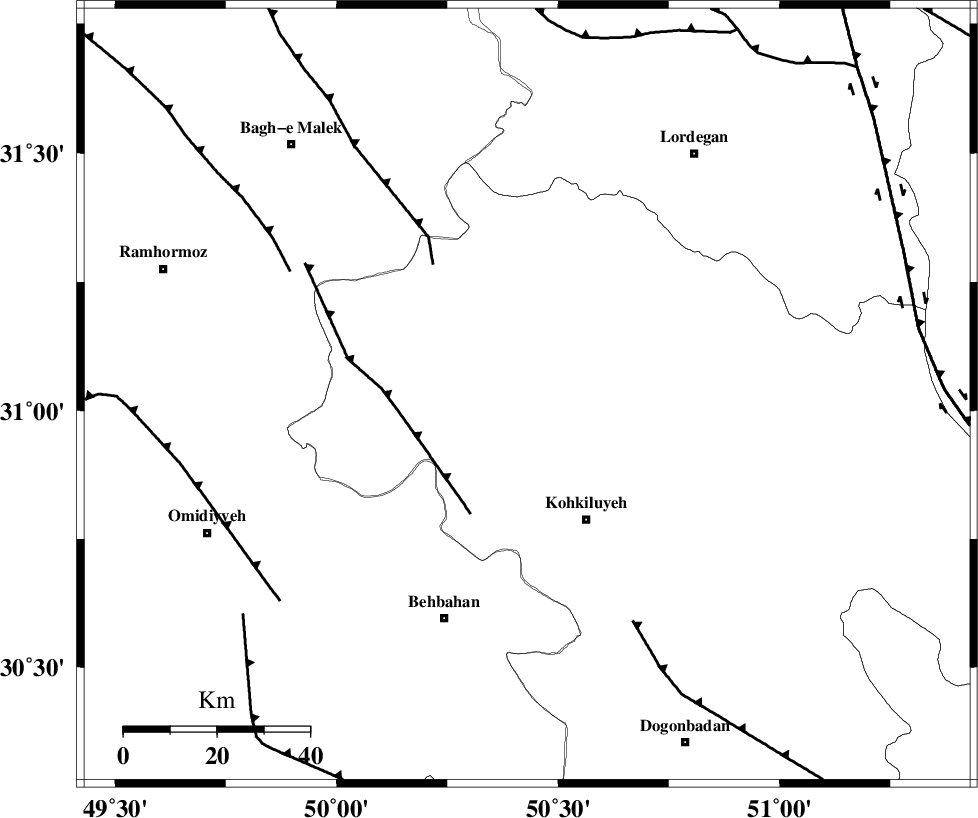
Faults within 150 km: |
|
| MFF4 (Length: 62 km) , Distance to epicenter: 28 km | |
| MFF2 (Length: 205 km) , Distance to epicenter: 35 km | |
| MISHAN_F (Length: 76 km) , Distance to epicenter: 54 km | |
| Number of Phases | 5 |
| RMS | 0.1 |
| Number of Stations | 4 |
| Error in Latitude | >8.8 km |
| Error in Longitude | 3.2 km |
| Error in Depth | 9.5 km |
Download waveform in seisan format
to download seisan software Click here
to access information about IIEES stations Click here
Amplitude | ||||||||
| UID | Agency | Station | Component | Amplitude | Period | Arrival Time | Proccessing Time | Signal Clip |
| 81260 | IIEES | SHGR | E | 259.5 | 0.45 | 2012-01-06 23:58:50 | 2012-01-07 02:40:00 | n |
| 81261 | IIEES | SHGR | N | 211.9 | 0.4 | 2012-01-06 23:58:58 | 2012-01-07 02:40:00 | n |
| 81262 | IIEES | KHMZ | E | 17.1 | 0.6 | 2012-01-06 23:59:27 | 2012-01-07 02:40:00 | n |
| 81263 | IIEES | KHMZ | N | 18.5 | 0.76 | 2012-01-06 23:59:28 | 2012-01-07 02:40:00 | n |
| 81264 | IIEES | ASAO | N | 14.7 | 0.52 | 2012-01-06 23:59:39 | 2012-01-07 02:40:00 | n |
| 81265 | IIEES | ASAO | E | 14.1 | 0.48 | 2012-01-06 23:59:39 | 2012-01-07 02:40:00 | n |
Phase | ||||||||||||
| Agency | Station | Component | Phase Type | Phase Quality | First Motion | Observed Arrival Time | Time Residual | Loc. Flag | Input Weight | Distance | Azimuth | |
| IIEES | SHGR | N | Pn | E | 2012-01-06 23:58:24 | 0.03 | y | 195 | 308 | |||
| IIEES | SHGR | N | Sg | E | 2012-01-06 23:58:48 | -0.07 | y | 195 | 308 | |||
| IIEES | NASN | Z | Pn | E | 2012-01-06 23:58:37 | -0.12 | y | 298 | 48 | |||
| IIEES | KHMZ | Z | Pn | E | 2012-01-06 23:58:38 | 0.08 | y | 304 | 352 | |||
| IIEES | ASAO | E | Pn | E | 2012-01-06 23:58:49 | 0.1 | y | 392 | 355 | |||