
Magnitude |
:2.5 |
| Date & Time (UTC) | 2011-12-30 00:25:14.8 |
| Date & Time (Local) | 1390/10/9 03:55:14.8 |
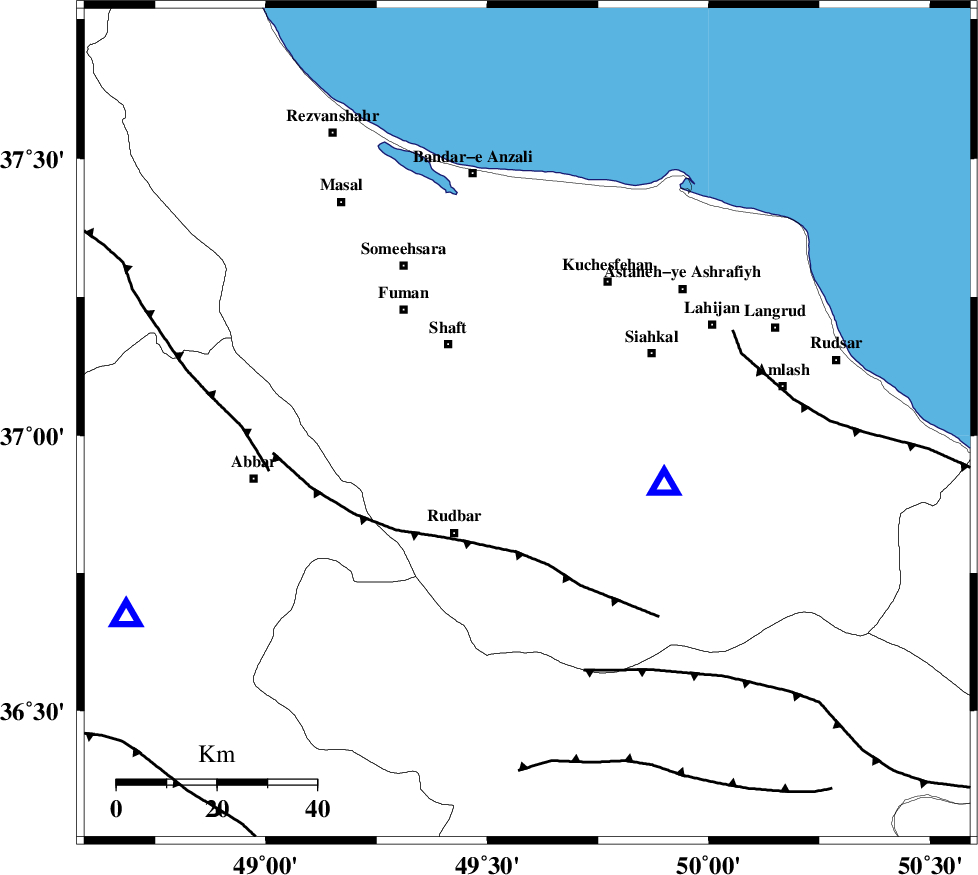
| Location | Lat:37.02 Lon: 49.59 |
| Region | Gilan Province, 29 km South of Rasht |
Nearest Cities |
|
| 4 km of Eskolak, Gilan Province | |
| 5 km North of Shahr-e bijar, Gilan Province | |
| 9 km of Saravan, Gilan Province | |
| 9 km North of Nasir mahalleh, Gilan Province | |
| 10 km of Jirdeh, Gilan Province | |
| Depth | 15 km |
| Agency | |
Faults within 150 km: |
|
| LAHIJAN_F (Length: 92 km) , Distance to epicenter: 12 km | |
| RUDBAR_F (Length: 93 km) , Distance to epicenter: 26 km | |
| TALESH_F (Length: 258 km) , Distance to epicenter: 35 km | |
| Number of Phases | 6 |
| RMS | 0.2 |
| Number of Stations | 6 |
| Error in Latitude | >2.7 km |
| Error in Longitude | 1.9 km |
| Error in Depth | 0 km |
Download waveform in seisan format
to download seisan software Click here
to access information about IIEES stations Click here
Amplitude | ||||||||
| UID | Agency | Station | Component | Amplitude | Period | Arrival Time | Proccessing Time | Signal Clip |
| 81198 | IIEES | THKV | E | 111.1 | 0.36 | 2011-12-30 00:26:16 | 2011-12-29 11:42:00 | n |
| 81199 | IIEES | GRMI | N | 40.9 | 0.24 | 2011-12-30 00:26:27 | 2011-12-29 11:42:00 | n |
| 81200 | IIEES | GRMI | E | 45.3 | 0.36 | 2011-12-30 00:26:30 | 2011-12-29 11:42:00 | n |
| 81201 | IIEES | ASAO | N | 17.5 | 0.6 | 2011-12-30 00:26:33 | 2011-12-29 11:42:00 | n |
| 81202 | IIEES | ASAO | E | 20.9 | 0.48 | 2011-12-30 00:26:34 | 2011-12-29 11:42:00 | n |
| 81203 | IIEES | SNGE | N | 15.8 | 0.48 | 2011-12-30 00:26:34 | 2011-12-29 11:42:00 | n |
| 81204 | IIEES | SNGE | E | 11.9 | 0.52 | 2011-12-30 00:26:35 | 2011-12-29 11:42:00 | n |
Phase | ||||||||||||
| Agency | Station | Component | Phase Type | Phase Quality | First Motion | Observed Arrival Time | Time Residual | Loc. Flag | Input Weight | Distance | Azimuth | |
| IIEES | THKV | Z | Pn | E | 2011-12-30 00:25:43 | -0.09 | y | 168 | 136 | |||
| IIEES | CHTH | Z | Pn | E | 2011-12-30 00:25:45 | 0.05 | y | 185 | 131 | |||
| IIEES | GRMI | Z | Pn | E | 2011-12-30 00:25:53 | 0.01 | y | 249 | 324 | |||
| IIEES | ASAO | Z | Pn | E | 2011-12-30 00:25:56 | -0.24 | y | 277 | 172 | |||
| IIEES | SNGE | Z | Pn | E | 2011-12-30 00:25:59 | -0.06 | y | 294 | 224 | |||
| IIEES | KHMZ | Z | Pn | E | 2011-12-30 00:26:08 | 0.37 | y | 365 | 175 | |||