
Magnitude |
:2.7 |
| Date & Time (UTC) | 2011-12-11 04:17:20.9 |
| Date & Time (Local) | 1390/9/20 07:47:20.9 |
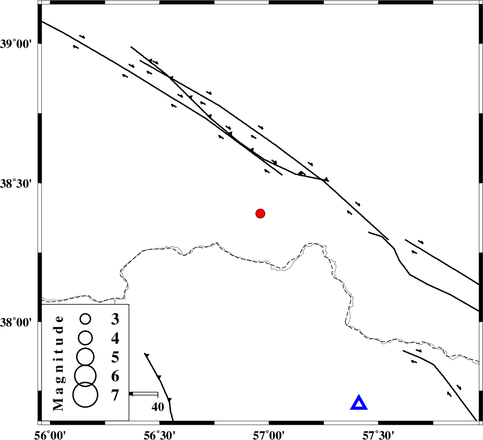
| Location | Lat:38.39 Lon: 56.96 |
| Region | Turkmenistan, 94 km North of Ashkhaneh |
Nearest Cities |
|
| 31 km North East of Yekehsoud-e paeen, Khorasan(north) Province | |
| 49 km North of Tangehzar, Khorasan(north) Province | |
| 53 km North West of Raz, Khorasan(north) Province | |
| 72 km North West of Gifan olia, Khorasan(north) Province | |
| 81 km North East of Qazanqayeh, Golestan Province | |
| Depth | 6 km |
| Agency | |
Faults within 150 km: |
|
| MAIN_KOPEHDAGH_F1 (Length: 318 km) , Distance to epicenter: 18 km | |
| MAIN_KOPEHDAGH_F2 (Length: 131 km) , Distance to epicenter: 28 km | |
| MAIN_KOPEHDAGH_F3 (Length: 96 km) , Distance to epicenter: 59 km | |
| Number of Phases | 4 |
| RMS | 0.1 |
| Number of Stations | 3 |
| Error in Latitude | >6.4 km |
| Error in Longitude | 2.6 km |
| Error in Depth | 4.2 km |
Download waveform in seisan format
to download seisan software Click here
to access information about IIEES stations Click here
Amplitude | ||||||||
| UID | Agency | Station | Component | Amplitude | Period | Arrival Time | Proccessing Time | Signal Clip |
| 80967 | IIEES | MRVT | N | 214.3 | 0.51 | 2011-12-11 04:17:57 | 2011-12-11 03:36:00 | n |
| 80968 | IIEES | MRVT | E | 198.1 | 0.54 | 2011-12-11 04:17:57 | 2011-12-11 03:36:00 | n |
Phase | ||||||||||||
| Agency | Station | Component | Phase Type | Phase Quality | First Motion | Observed Arrival Time | Time Residual | Loc. Flag | Input Weight | Distance | Azimuth | |
| IIEES | BJRD | Z | Pg | E | 2011-12-11 04:17:36 | -0.03 | y | 86.1 | 153 | |||
| IIEES | MRVT | Z | Pg | E | 2011-12-11 04:17:40 | -0.07 | y | 112 | 224 | |||
| IIEES | MRVT | N | Sg | E | 2011-12-11 04:17:54 | 0.01 | y | 112 | 224 | |||
| IIEES | SHRO | Z | Pn | E | 2011-12-11 04:18:04 | 0.08 | y | 277 | 198 | |||