
Magnitude |
:3.9 |
| Date & Time (UTC) | 2011-12-09 08:46:32.1 |
| Date & Time (Local) | 1390/9/18 12:16:32.1 |
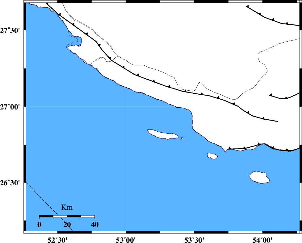
| Location | Lat:26.93 Lon: 53.27 |
| Region | Persian Gulf, 46 km South-East of Lamerd |
Nearest Cities |
|
| 46 km South East of Lamerd, Fars Province | |
| 47 km South West of Ashkenan, Fars Province | |
| 53 km South West of Ahl, Fars Province | |
| 60 km South West of Beyram, Fars Province | |
| 64 km South East of Khoozi, Fars Province | |
| Depth | 16 km |
| Agency | |
Faults within 150 km: |
|
| MFF3 (Length: 292 km) , Distance to epicenter: 23 km | |
| ZFF1 (Length: 165 km) , Distance to epicenter: 53 km | |
| MFF1 (Length: 180 km) , Distance to epicenter: 79 km | |
| Number of Phases | 8 |
| RMS | 0 |
| Number of Stations | 6 |
| Error in Latitude | >3.1 km |
| Error in Longitude | 2 km |
| Error in Depth | 3.9 km |
Download waveform in seisan format
to download seisan software Click here
to access information about IIEES stations Click here
Amplitude | ||||||||
| UID | Agency | Station | Component | Amplitude | Period | Arrival Time | Proccessing Time | Signal Clip |
| 80944 | IIEES | GHIR | E | 1684.8 | 0.56 | 2011-12-09 08:47:23 | 2011-12-09 09:44:00 | n |
| 80945 | IIEES | BNDS | N | 459.1 | 0.6 | 2011-12-09 08:48:17 | 2011-12-09 09:44:00 | n |
Phase | ||||||||||||
| Agency | Station | Component | Phase Type | Phase Quality | First Motion | Observed Arrival Time | Time Residual | Loc. Flag | Input Weight | Distance | Azimuth | |
| IIEES | GHIR | Z | Pg | E | 2011-12-09 08:46:57 | 0.02 | y | 153 | 350 | |||
| IIEES | GHIR | N | Sg | E | 2011-12-09 08:47:16 | -0.02 | y | 153 | 350 | |||
| IIEES | AHRM | Z | Pn | E | 2011-12-09 08:47:15 | -0.02 | y | 289 | 318 | |||
| IIEES | BNDS | Z | Pn | E | 2011-12-09 08:47:16 | -0.03 | y | 292 | 79 | |||
| IIEES | BNDS | E | Sg | E | 2011-12-09 08:47:54 | 0.01 | y | 292 | 79 | |||
| IIEES | NASN | Z | Pn | E | 2011-12-09 08:48:01 | 0.1 | y | 653 | 356 | |||
| IIEES | SHRT | Z | P | E | 2011-12-09 08:48:44 | -0.01 | y | 1005 | 40 | |||
| IIEES | SHRO | Z | P | E | 2011-12-09 08:48:48 | -0.04 | y | 1040 | 14 | |||