
Magnitude |
:4.7 |
| Date & Time (UTC) | 2011-12-09 03:23:30.9 |
| Date & Time (Local) | 1390/9/18 06:53:30.9 |
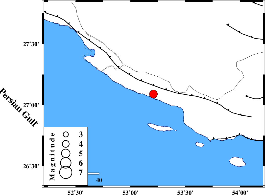
| Location | Lat:27.09 Lon: 53.21 |
| Region | Hormozgan Province, 27 km South of Lamerd |
Nearest Cities |
|
| 27 km South of Lamerd, Fars Province | |
| 42 km South West of Ashkenan, Fars Province | |
| 46 km South East of Khoozi, Fars Province | |
| 48 km South West of Beyram, Fars Province | |
| 51 km South East of Chah-e mobarak, Bushehr Province | |
| Depth | 18 km |
| Agency | |
Faults within 150 km: |
|
| MFF3 (Length: 292 km) , Distance to epicenter: 9 km | |
| ZFF1 (Length: 165 km) , Distance to epicenter: 67 km | |
| MFF1 (Length: 180 km) , Distance to epicenter: 83 km | |
| Number of Phases | 8 |
| RMS | 0.3 |
| Number of Stations | 6 |
| Error in Latitude | >5.4 km |
| Error in Longitude | 4 km |
| Error in Depth | 7.5 km |
Download waveform in seisan format
to download seisan software Click here
to access information about IIEES stations Click here
Amplitude | ||||||||
| UID | Agency | Station | Component | Amplitude | Period | Arrival Time | Proccessing Time | Signal Clip |
| 80933 | IIEES | GHIR | E | 18544.4 | 0.44 | 2011-12-09 03:24:15 | 2011-12-09 02:55:00 | n |
| 80934 | IIEES | GHIR | N | 14001.8 | 0.52 | 2011-12-09 03:24:16 | 2011-12-09 02:55:00 | n |
| 80935 | IIEES | AHRM | N | 3106.2 | 0.68 | 2011-12-09 03:25:10 | 2011-12-09 02:55:00 | n |
Phase | ||||||||||||
| Agency | Station | Component | Phase Type | Phase Quality | First Motion | Observed Arrival Time | Time Residual | Loc. Flag | Input Weight | Distance | Azimuth | |
| IIEES | GHIR | Z | Pg | E | 2011-12-09 03:23:53 | -0.15 | y | 134 | 350 | |||
| IIEES | GHIR | E | Sg | E | 2011-12-09 03:24:09 | 0.1 | y | 134 | 350 | |||
| IIEES | AHRM | Z | Pn | E | 2011-12-09 03:24:12 | 0 | y | 272 | 317 | |||
| IIEES | AHRM | N | Sg | E | 2011-12-09 03:24:47 | 0.05 | y | 272 | 317 | |||
| IIEES | NASN | Z | Pn | E | 2011-12-09 03:24:56 | -0.44 | y | 634 | 357 | |||
| IIEES | CHBR | Z | Pn | E | 2011-12-09 03:25:10 | 0.22 | y | 744 | 101 | |||
| IIEES | KHMZ | Z | Pn | E | 2011-12-09 03:25:17 | -0.19 | y | 800 | 338 | |||
| IIEES | GHVR | Z | Pn | E | 2011-12-09 03:25:23 | 0.66 | y | 840 | 348 | |||