
Magnitude |
:2.8 |
| Date & Time (UTC) | 2011-11-17 00:31:23.2 |
| Date & Time (Local) | 1390/8/26 04:01:23.2 |
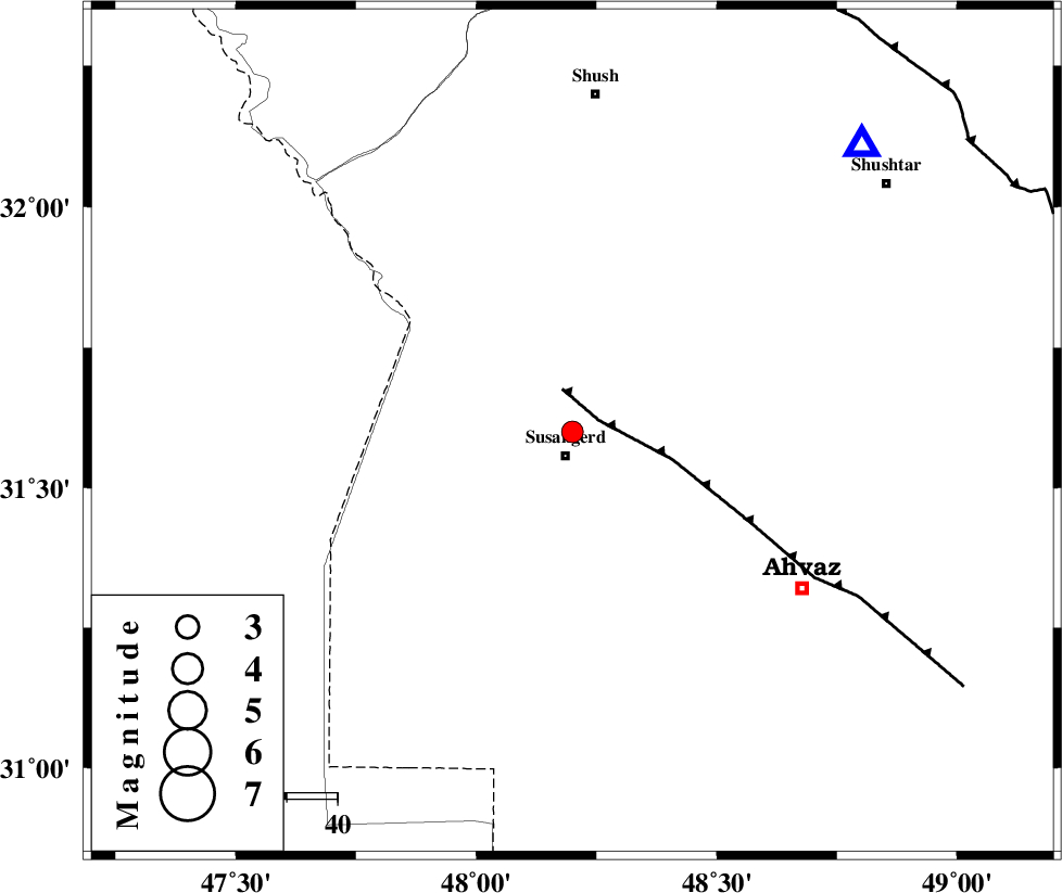
| Location | Lat:31.6 Lon: 48.2 |
| Region | Khoozestan Province, 5 km Susangerd |
Nearest Cities |
|
| 5 km North of Susangerd, Khoozestan Province | |
| 10 km North of Jalaliyeh, Khoozestan Province | |
| 19 km North East of Hoveizeh, Khoozestan Province | |
| 25 km South East of Bostan, Khoozestan Province | |
| 26 km North West of Hamidiyeh, Khoozestan Province | |
| Depth | 15 km |
| Agency | |
Faults within 150 km: |
|
| AHVAZ_F (Length: 99 km) , Distance to epicenter: 6 km | |
| DEZFUL_EMBAYMENT (Length: 228 km) , Distance to epicenter: 97 km | |
| AGHAJARI_F (Length: 88 km) , Distance to epicenter: 108 km | |
| Number of Phases | 6 |
| RMS | 0 |
| Number of Stations | 5 |
| Error in Latitude | >7.3 km |
| Error in Longitude | 3.4 km |
| Error in Depth | 11.8 km |
Download waveform in seisan format
to download seisan software Click here
to access information about IIEES stations Click here
Amplitude | ||||||||
| UID | Agency | Station | Component | Amplitude | Period | Arrival Time | Proccessing Time | Signal Clip |
| 80690 | IIEES | SHGR | E | 850.5 | 0.64 | 2011-11-17 00:31:51 | 2011-11-17 11:44:00 | n |
| 80691 | IIEES | SHGR | N | 740 | 0.4 | 2011-11-17 00:31:55 | 2011-11-17 11:44:00 | n |
| 80692 | IIEES | KHMZ | E | 26.5 | 0.4 | 2011-11-17 00:32:49 | 2011-11-17 11:44:00 | n |
| 80693 | IIEES | SNGE | E | 10.9 | 0.68 | 2011-11-17 00:33:27 | 2011-11-17 11:44:00 | n |
| 80694 | IIEES | SNGE | N | 8.2 | 0.56 | 2011-11-17 00:33:34 | 2011-11-17 11:44:00 | n |
Phase | ||||||||||||
| Agency | Station | Component | Phase Type | Phase Quality | First Motion | Observed Arrival Time | Time Residual | Loc. Flag | Input Weight | Distance | Azimuth | |
| IIEES | KHMZ | Z | Pn | E | 2011-11-17 00:32:06 | -0.04 | y | 289 | 34 | |||
| IIEES | ASAO | Z | Pn | E | 2011-11-17 00:32:16 | -0.02 | y | 369 | 27 | |||
| IIEES | ASAO | E | Sg | E | 2011-11-17 00:33:06 | 0.03 | y | 369 | 27 | |||
| IIEES | SNGE | Z | Pn | E | 2011-11-17 00:32:20 | 0.06 | y | 395 | 349 | |||
| IIEES | SNGE | N | Sg | E | 2011-11-17 00:33:13 | -0.03 | y | 395 | 349 | |||
| IIEES | NASN | Z | Pn | E | 2011-11-17 00:32:27 | 0.01 | y | 454 | 72 | |||