
Magnitude |
:2.6 |
| Date & Time (UTC) | 2011-10-29 21:45:10.9 |
| Date & Time (Local) | 1390/8/8 01:15:10.9 |
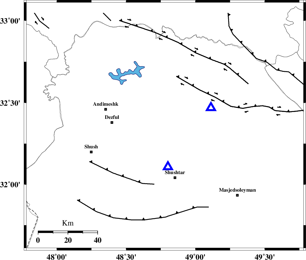
| Location | Lat:32.36 Lon: 48.78 |
| Region | Khoozestan Province, 31 km West of Lali |
Nearest Cities |
|
| 12 km East of Mahur berenji, Khoozestan Province | |
| 13 km North of Gatvand, Khoozestan Province | |
| 17 km South of Sardasht, Khoozestan Province | |
| 19 km North of Samaleh, Khoozestan Province | |
| 31 km West of Lali, Khoozestan Province | |
| Depth | 34 km |
| Agency | |
Faults within 150 km: |
|
| DEZFUL_EMBAYMENT (Length: 228 km) , Distance to epicenter: 3 km | |
| BALARUD_F_Z2 (Length: 58 km) , Distance to epicenter: 37 km | |
| MFF2 (Length: 205 km) , Distance to epicenter: 41 km | |
| Number of Phases | 5 |
| RMS | 0.1 |
| Number of Stations | 4 |
| Error in Latitude | >2.8 km |
| Error in Longitude | 3.8 km |
| Error in Depth | 3 km |
Download waveform in seisan format
to download seisan software Click here
to access information about IIEES stations Click here
Amplitude | ||||||||
| UID | Agency | Station | Component | Amplitude | Period | Arrival Time | Proccessing Time | Signal Clip |
| 80574 | IIEES | SHGR | N | 755.9 | 0.29 | 2011-10-29 21:45:26 | 2011-10-30 02:24:00 | n |
| 80575 | IIEES | SHGR | E | 561 | 0.65 | 2011-10-29 21:45:26 | 2011-10-30 02:24:00 | n |
| 80576 | IIEES | KHMZ | N | 62.9 | 0.18 | 2011-10-29 21:46:07 | 2011-10-30 02:24:00 | n |
Phase | ||||||||||||
| Agency | Station | Component | Phase Type | Phase Quality | First Motion | Observed Arrival Time | Time Residual | Loc. Flag | Input Weight | Distance | Azimuth | |
| IIEES | SHGR | Z | Pg | E | 2011-10-29 21:45:18 | -0.19 | y | 28 | 175 | |||
| IIEES | SHGR | E | Sg | E | 2011-10-29 21:45:23 | 0.14 | y | 28 | 175 | |||
| IIEES | KHMZ | Z | Pg | E | 2011-10-29 21:45:41 | 0 | y | 189 | 36 | |||
| IIEES | SNGE | Z | Pn | E | 2011-10-29 21:45:58 | 0.05 | y | 331 | 337 | |||
| IIEES | NASN | Z | Pn | E | 2011-10-29 21:46:04 | 0.02 | y | 382 | 82 | |||