
Magnitude |
:2.6 |
| Date & Time (UTC) | 2011-10-23 07:11:29.6 |
| Date & Time (Local) | 1390/8/1 10:41:29.6 |
| Location | Lat:36.3 Lon: 57.94 |
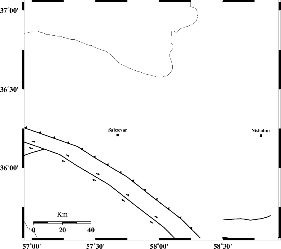
| Region | Khorasan(center) Province, 26 km East of Sabzevar |
Nearest Cities |
|
| 17 km South West of Soltanabad, Khorasan(center) Province | |
| 19 km South of Rebatjaz, Khorasan(center) Province | |
| 26 km North East of Sabzevar, Khorasan(center) Province | |
| 40 km South East of Void, Khorasan(center) Province | |
| 41 km North West of Shamkan, Khorasan(center) Province | |
| Depth | 15 km |
| Agency | |
Faults within 150 km: |
|
| SABZEVAR_F (Length: 81 km) , Distance to epicenter: 23 km | |
| NAYSHABUR_F (Length: 74 km) , Distance to epicenter: 30 km | |
| RIVAND_F (Length: 70 km) , Distance to epicenter: 36 km | |
| Number of Phases | 3 |
| RMS | 0 |
| Number of Stations | 3 |
| Error in Latitude | >1.5 km |
| Error in Longitude | 3.8 km |
| Error in Depth | 0 km |
Download waveform in seisan format
to download seisan software Click here
to access information about IIEES stations Click here
Amplitude | ||||||||
| UID | Agency | Station | Component | Amplitude | Period | Arrival Time | Proccessing Time | Signal Clip |
| 80526 | IIEES | BJRD | E | 57 | 0.72 | 2011-10-23 07:12:34 | 2011-10-23 07:20:00 | n |
| 80527 | IIEES | SHRO | N | 122.5 | 0.54 | 2011-10-23 07:12:33 | 2011-10-23 07:20:00 | n |
Phase | ||||||||||||
| Agency | Station | Component | Phase Type | Phase Quality | First Motion | Observed Arrival Time | Time Residual | Loc. Flag | Input Weight | Distance | Azimuth | |
| IIEES | BJRD | Z | Pg | E | 2011-10-23 07:11:56 | 0 | y | 162 | 343 | |||
| IIEES | SHRO | Z | Pg | E | 2011-10-23 07:11:58 | 0 | y | 176 | 260 | |||
| IIEES | TABS | Z | Pn | E | 2011-10-23 07:12:14 | 0 | y | 304 | 194 | |||