
Magnitude |
:3.9 |
| Date & Time (UTC) | 2011-09-18 02:38:51.3 |
| Date & Time (Local) | 1390/6/27 07:08:51.3 |
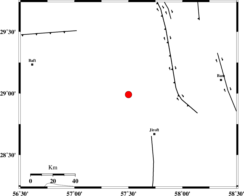
| Location | Lat:28.99 Lon: 57.5 |
| Region | Kerman Province, 43 km North-West of Jiroft |
Nearest Cities |
|
| 9 km of Sahebabad, Kerman Province | |
| 10 km West of Delfard, Kerman Province | |
| 16 km East of Eslamabad, Kerman Province | |
| 41 km North West of Saghdar, Kerman Province | |
| 42 km North West of Mohammadabad, Kerman Province | |
| Depth | 17 km |
| Agency | |
Faults within 150 km: |
|
| SABZEVARAN_F (Length: 190 km) , Distance to epicenter: 43 km | |
| GOWK_F (Length: 152 km) , Distance to epicenter: 43 km | |
| LALEHZAR_F (Length: 52 km) , Distance to epicenter: 74 km | |
| Number of Phases | 4 |
| RMS | 0 |
| Number of Stations | 4 |
| Error in Latitude | >3.3 km |
| Error in Longitude | 2.2 km |
| Error in Depth | 3.8 km |
Download waveform in seisan format
to download seisan software Click here
to access information about IIEES stations Click here
Amplitude | ||||||||
| UID | Agency | Station | Component | Amplitude | Period | Arrival Time | Proccessing Time | Signal Clip |
| 80253 | IIEES | BNDS | N | 1539.5 | 0.61 | 2011-09-18 02:39:51 | 2011-09-18 03:05:00 | n |
| 80254 | IIEES | ZHSF | N | 160.7 | 0.94 | 2011-09-18 02:40:21 | 2011-09-18 03:05:00 | n |
| 80255 | IIEES | GHIR | E | 209.8 | 0.31 | 2011-09-18 02:40:41 | 2011-09-18 03:05:00 | n |
Phase | ||||||||||||
| Agency | Station | Component | Phase Type | Phase Quality | First Motion | Observed Arrival Time | Time Residual | Loc. Flag | Input Weight | Distance | Azimuth | |
| IIEES | BNDS | Z | Pg | E | 2011-09-18 02:39:27 | 0 | y | 219 | 217 | |||
| IIEES | ZHSF | Z | Pg | E | 2011-09-18 02:39:44 | 0 | y | 326 | 77 | |||
| IIEES | GHIR | Z | Pn | E | 2011-09-18 02:39:54 | 0 | y | 448 | 261 | |||
| IIEES | CHBR | Z | Pn | E | 2011-09-18 02:39:58 | 0 | y | 478 | 141 | |||