
Magnitude |
:2.9 |
| Date & Time (UTC) | 2011-08-14 17:26:41.8 |
| Date & Time (Local) | 1390/5/23 21:56:41.8 |
| Location | Lat:31.11 Lon: 50.42 |
| Region | Kohkiluieh va boyerahmad Province, 38 km North-West of Dehdasht |
Nearest Cities |
|
| 9 km of Qale-ye raiesi, Kohkiluieh va boyerahmad Province | |
| 15 km North of Lendeh, Kohkiluieh va boyerahmad Province | |
| 20 km South of Dishmuk, Kohkiluieh va boyerahmad Province | |
| 23 km South East of Esfandan, Kohkiluieh va boyerahmad Province | |
| 28 km South West of Pataveh, Kohkiluieh va boyerahmad Province | |
| Depth | 18 km |
| Agency | |
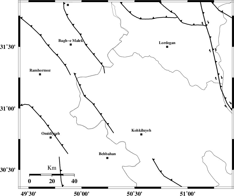
Faults within 150 km: |
|
| MFF2 (Length: 205 km) , Distance to epicenter: 27 km | |
| MFF4 (Length: 62 km) , Distance to epicenter: 29 km | |
| DEZFUL_EMBAYMENT (Length: 228 km) , Distance to epicenter: 53 km | |
| Number of Phases | 8 |
| RMS | 0.1 |
| Number of Stations | 5 |
| Error in Latitude | >2.4 km |
| Error in Longitude | 1.1 km |
| Error in Depth | 2.9 km |
Download waveform in seisan format
to download seisan software Click here
to access information about IIEES stations Click here
Amplitude | ||||||||
| UID | Agency | Station | Component | Amplitude | Period | Arrival Time | Proccessing Time | Signal Clip |
| 79982 | IIEES | SHGR | N | 153.6 | 0.64 | 2011-08-14 17:27:39 | 2011-08-14 05:57:00 | n |
| 79983 | IIEES | SHGR | E | 106.4 | 0.48 | 2011-08-14 17:27:40 | 2011-08-14 05:57:00 | n |
Phase | ||||||||||||
| Agency | Station | Component | Phase Type | Phase Quality | First Motion | Observed Arrival Time | Time Residual | Loc. Flag | Input Weight | Distance | Azimuth | |
| IIEES | SHGR | Z | Pg | E | 2011-08-14 17:27:12 | 0.02 | y | 190 | 306 | |||
| IIEES | SHGR | E | Sg | E | 2011-08-14 17:27:35 | 0.03 | y | 190 | 306 | |||
| IIEES | NASN | Z | Pn | E | 2011-08-14 17:27:25 | 0.12 | y | 293 | 50 | |||
| IIEES | NASN | E | Sg | E | 2011-08-14 17:28:04 | 0.01 | y | 293 | 50 | |||
| IIEES | KHMZ | Z | Pn | E | 2011-08-14 17:27:25 | 0 | y | 295 | 352 | |||
| IIEES | KHMZ | E | Sg | E | 2011-08-14 17:28:04 | -0.01 | y | 295 | 352 | |||
| IIEES | GHVR | Z | P | E | 2011-08-14 17:27:36 | -0.13 | y | 382 | 11 | |||
| IIEES | SNGE | Z | Pn | E | 2011-08-14 17:27:54 | -0.1 | y | 527 | 328 | |||