
Magnitude |
:2.7 |
| Date & Time (UTC) | 2011-07-28 08:29:49.9 |
| Date & Time (Local) | 1390/5/6 12:59:49.9 |
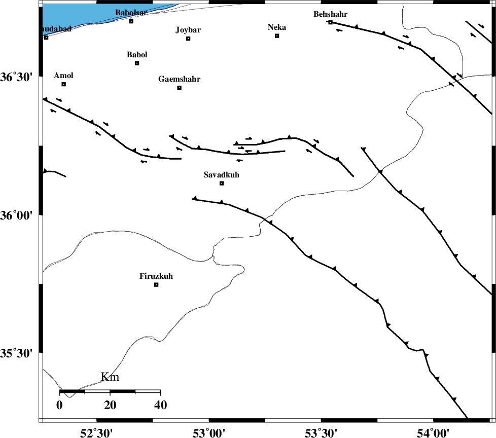
| Location | Lat:36.01 Lon: 53.26 |
| Region | Mazandaran Province, 22 km South-East of Pol-E-Sefid |
Nearest Cities |
|
| 7 km of Sangdeh, Mazandaran Province | |
| 13 km North of Chashem, Semnan Province | |
| 21 km East of Shurmast-e peyrudbar, Mazandaran Province | |
| 22 km South East of Pol-E-Sefid, Mazandaran Province | |
| 27 km East of Elahband, Mazandaran Province | |
| Depth | 14 km |
| Agency | |
Faults within 150 km: |
|
| N_ALBORZ_F (Length: 360 km) , Distance to epicenter: 23 km | |
| ATARI_F (Length: 185 km) , Distance to epicenter: 35 km | |
| DAMGHAN_F (Length: 95 km) , Distance to epicenter: 54 km | |
| Number of Phases | 9 |
| RMS | 0.1 |
| Number of Stations | 7 |
| Error in Latitude | >2.7 km |
| Error in Longitude | 1 km |
| Error in Depth | 2.3 km |
Download waveform in seisan format
to download seisan software Click here
to access information about IIEES stations Click here
Amplitude | ||||||||
| UID | Agency | Station | Component | Amplitude | Period | Arrival Time | Proccessing Time | Signal Clip |
| 79838 | IIEES | GHVR | E | 55.1 | 0.36 | 2011-07-28 08:31:08 | 2011-07-28 09:45:00 | n |
| 79839 | IIEES | GHVR | N | 42.8 | 0.36 | 2011-07-28 08:31:14 | 2011-07-28 09:45:00 | n |
| 79840 | IIEES | TABS | N | 8.8 | 0.64 | 2011-07-28 08:32:10 | 2011-07-28 09:45:00 | n |
Phase | ||||||||||||
| Agency | Station | Component | Phase Type | Phase Quality | First Motion | Observed Arrival Time | Time Residual | Loc. Flag | Input Weight | Distance | Azimuth | |
| IIEES | DAMV | Z | Pg | E | 2011-07-28 08:30:10 | -0.16 | y | 124 | 251 | |||
| IIEES | DAMV | N | Sg | E | 2011-07-28 08:30:26 | -0.02 | y | 124 | 251 | |||
| IIEES | THKV | Z | Pn | E | 2011-07-28 08:30:24 | 0.02 | y | 215 | 268 | |||
| IIEES | SHRO | Z | Pn | E | 2011-07-28 08:30:28 | 0.01 | y | 248 | 89 | |||
| IIEES | SHRO | E | Sg | E | 2011-07-28 08:30:59 | -0.05 | y | 248 | 89 | |||
| IIEES | GHVR | Z | Pn | E | 2011-07-28 08:30:28 | 0.05 | y | 250 | 228 | |||
| IIEES | MRVT | Z | Pn | E | 2011-07-28 08:30:36 | 0.02 | y | 312 | 53 | |||
| IIEES | ASAO | Z | Pn | E | 2011-07-28 08:30:39 | 0.13 | y | 336 | 242 | |||
| IIEES | TABS | Z | Pn | E | 2011-07-28 08:30:52 | 0.01 | y | 439 | 125 | |||