
Magnitude |
:3.4 |
| Date & Time (UTC) | 2011-07-07 12:00:53.0 |
| Date & Time (Local) | 1390/4/16 16:30:53.0 |
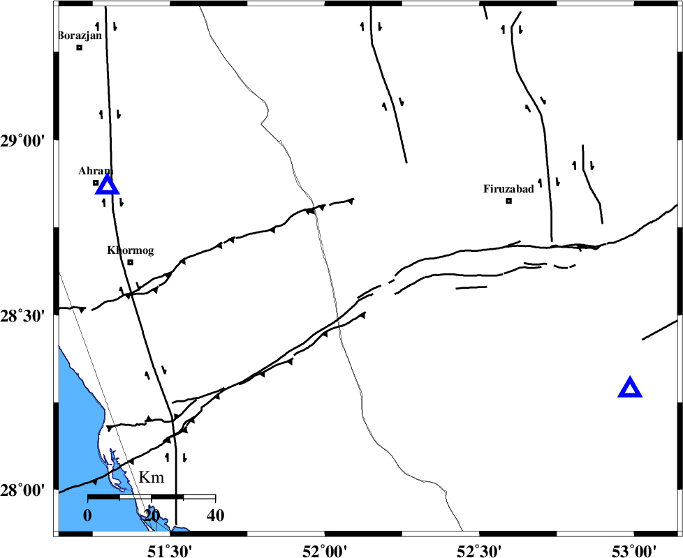
| Location | Lat:28.63 Lon: 52.14 |
| Region | Fars Province, 27 km South of Farashband |
Nearest Cities |
|
| 23 km North West of Dahrom, Fars Province | |
| 27 km South of Farashband, Fars Province | |
| 33 km South of Aviz, Fars Province | |
| 42 km South West of Ahmadabad, Fars Province | |
| 46 km North East of Shanbeh, Bushehr Province | |
| Depth | 21 km |
| Agency | |
Faults within 150 km: |
|
| QIR_F (Length: 130 km) , Distance to epicenter: 29 km | |
| KAREBASS_F (Length: 98 km) , Distance to epicenter: 36 km | |
| MFF5 (Length: 74 km) , Distance to epicenter: 39 km | |
| Number of Phases | 5 |
| RMS | 0.2 |
| Number of Stations | 3 |
| Error in Latitude | >1.7 km |
| Error in Longitude | 0.7 km |
| Error in Depth | 0 km |
Download waveform in seisan format
to download seisan software Click here
to access information about IIEES stations Click here
Amplitude | ||||||||
| UID | Agency | Station | Component | Amplitude | Period | Arrival Time | Proccessing Time | Signal Clip |
| 79585 | IIEES | AHRM | E | 1392.6 | 0.32 | 2011-07-07 12:01:33 | 2011-07-08 05:30:00 | n |
| 79586 | IIEES | AHRM | N | 2062.1 | 0.6 | 2011-07-07 12:01:34 | 2011-07-08 05:30:00 | n |
| 79587 | IIEES | GHIR | E | 1079.8 | 0.56 | 2011-07-07 12:01:34 | 2011-07-08 05:30:00 | n |
| 79588 | IIEES | KRBR | N | 30.8 | 0.4 | 2011-07-07 12:03:07 | 2011-07-08 05:30:00 | n |
| 79589 | IIEES | KRBR | E | 37.5 | 0.6 | 2011-07-07 12:03:28 | 2011-07-08 05:30:00 | n |
Phase | ||||||||||||
| Agency | Station | Component | Phase Type | Phase Quality | First Motion | Observed Arrival Time | Time Residual | Loc. Flag | Input Weight | Distance | Azimuth | |
| IIEES | AHRM | Z | Pg | E | 2011-07-07 12:01:07 | -0.07 | y | 85.8 | 288 | |||
| IIEES | AHRM | E | Sg | E | 2011-07-07 12:01:18 | -0.02 | y | 85.8 | 288 | |||
| IIEES | GHIR | Z | Pg | E | 2011-07-07 12:01:08 | 0.38 | y | 91.8 | 114 | |||
| IIEES | GHIR | E | Sg | E | 2011-07-07 12:01:19 | -0.27 | y | 91.8 | 114 | |||
| IIEES | KRBR | Z | Pn | E | 2011-07-07 12:01:59 | -0.03 | y | 474 | 70 | |||