
Magnitude |
:3.2 |
| Date & Time (UTC) | 2011-03-21 11:01:12.5 |
| Date & Time (Local) | 1390/1/1 14:31:12.5 |
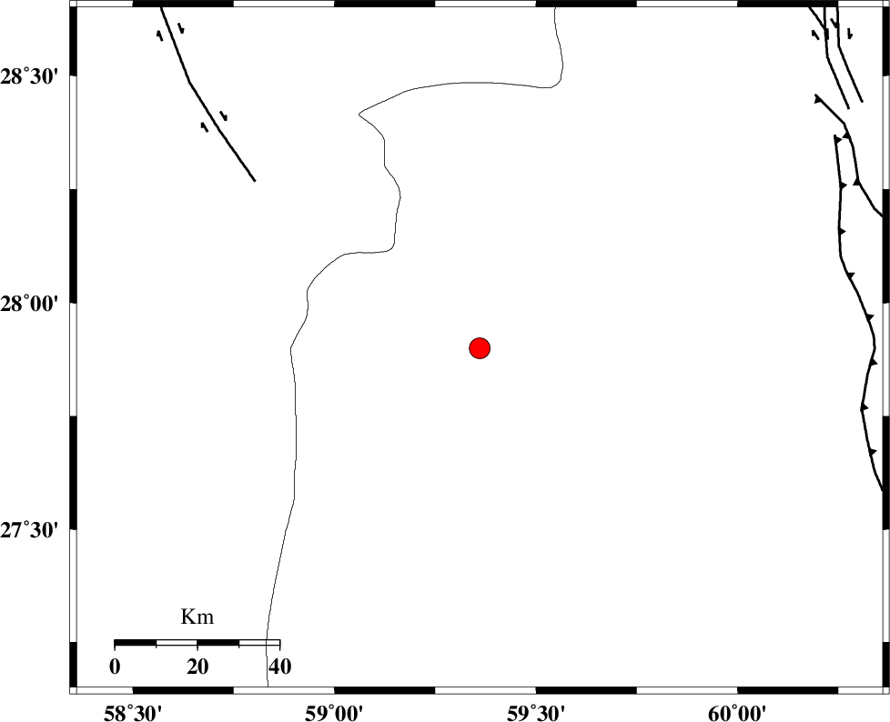
| Location | Lat:27.9 Lon: 59.36 |
| Region | Sistan va Baloochestan Province, 163 km East of Kahnuj |
Nearest Cities |
|
| 50 km North of Kalemursi, Sistan va Baloochestan Province | |
| 80 km North West of Bozman, Sistan va Baloochestan Province | |
| 83 km North West of Kiman, Sistan va Baloochestan Province | |
| 84 km South East of Borj-e abbasabad, Kerman Province | |
| 94 km South East of Hoseynabad, Kerman Province | |
| Depth | 18 km |
| Agency | |
Faults within 150 km: |
|
| BAM_F (Length: 118 km) , Distance to epicenter: 68 km | |
| KASKIN_F (Length: 100 km) , Distance to epicenter: 91 km | |
| DAMAN_F (Length: 167 km) , Distance to epicenter: 101 km | |
| Number of Phases | 6 |
| RMS | 0.4 |
| Number of Stations | 5 |
| Error in Latitude | >7.4 km |
| Error in Longitude | 6.1 km |
| Error in Depth | 14.3 km |
Download waveform in seisan format
to download seisan software Click here
to access information about IIEES stations Click here
Amplitude | ||||||||
| UID | Agency | Station | Component | Amplitude | Period | Arrival Time | Proccessing Time | Signal Clip |
| 78382 | IIEES | BNDS | N | 84.5 | 0.55 | 2011-03-21 11:02:50 | 2011-03-21 11:32:00 | n |
| 78383 | IIEES | BNDS | E | 75.3 | 0.63 | 2011-03-21 11:02:51 | 2011-03-21 11:32:00 | n |
| 78384 | IIEES | KRBR | E | 41.4 | 0.72 | 2011-03-21 11:03:08 | 2011-03-21 11:32:00 | n |
| 78385 | IIEES | TABS | N | 14.2 | 0.55 | 2011-03-21 11:04:26 | 2011-03-21 11:32:00 | n |
| 78386 | IIEES | TABS | E | 8.9 | 0.7 | 2011-03-21 11:04:33 | 2011-03-21 11:32:00 | n |
Phase | ||||||||||||
| Agency | Station | Component | Phase Type | Phase Quality | First Motion | Observed Arrival Time | Time Residual | Loc. Flag | Input Weight | Distance | Azimuth | |
| IIEES | ZHSF | Z | Pn | E | 2011-03-21 11:01:49 | 0.5 | y | 235 | 36 | |||
| IIEES | ZHSF | E | Sg | E | 2011-03-21 11:02:19 | -0.1 | y | 235 | 36 | |||
| IIEES | CHBR | Z | Pn | E | 2011-03-21 11:01:54 | -0.3 | y | 279 | 156 | |||
| IIEES | BNDS | E | Sg | E | 2011-03-21 11:02:42 | 0.1 | y | 319 | 261 | |||
| IIEES | KRBR | Z | Pn | E | 2011-03-21 11:02:01 | -0.8 | y | 342 | 313 | |||
| IIEES | BNDS | Z | Pn | E | 2011-03-21 11:02:00 | y | 319 | 261 | ||||