
Magnitude |
:3.3 |
| Date & Time (UTC) | 2011-02-10 11:18:52.0 |
| Date & Time (Local) | 1389/11/21 14:48:52.0 |
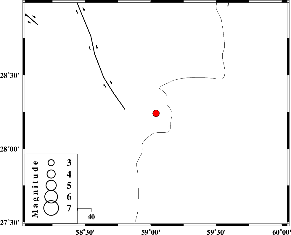
| Location | Lat:28.24 Lon: 59.04 |
| Region | Kerman Province, 117 km South-East of Bam |
Nearest Cities |
|
| 52 km South of Hoseynabad, Kerman Province | |
| 55 km South East of Mohammadabad-e gonbaki, Kerman Province | |
| 57 km North East of Borj-e abbasabad, Kerman Province | |
| 71 km South East of Void, Kerman Province | |
| 81 km South East of Fahroj, Kerman Province | |
| Depth | 14 km |
| Agency | |
Faults within 150 km: |
|
| BAM_F (Length: 118 km) , Distance to epicenter: 23 km | |
| KANURAK_F (Length: 135 km) , Distance to epicenter: 97 km | |
| GOWK_F (Length: 152 km) , Distance to epicenter: 110 km | |
| Number of Phases | 4 |
| RMS | 0.1 |
| Number of Stations | 3 |
| Error in Latitude | >4.9 km |
| Error in Longitude | 2.4 km |
| Error in Depth | 8 km |
Download waveform in seisan format
to download seisan software Click here
to access information about IIEES stations Click here
Amplitude | ||||||||
| UID | Agency | Station | Component | Amplitude | Period | Arrival Time | Proccessing Time | Signal Clip |
| 77869 | IIEES | KRBR | E | 148 | 0.57 | 2011-02-10 11:20:17 | 2011-02-10 11:30:00 | n |
| 77870 | IIEES | BNDS | N | 145.3 | 0.91 | 2011-02-10 11:20:15 | 2011-02-10 11:30:00 | n |
| 77871 | IIEES | BNDS | E | 104.8 | 0.61 | 2011-02-10 11:20:15 | 2011-02-10 11:30:00 | n |
Phase | ||||||||||||
| Agency | Station | Component | Phase Type | Phase Quality | First Motion | Observed Arrival Time | Time Residual | Loc. Flag | Input Weight | Distance | Azimuth | |
| IIEES | ZHSF | Z | Pg | E | 2011-02-10 11:19:29 | 0 | y | 228 | 48 | |||
| IIEES | KRBR | Z | Pn | E | 2011-02-10 11:19:36 | 0.1 | y | 294 | 312 | |||
| IIEES | KRBR | E | Sg | E | 2011-02-10 11:20:14 | -0.1 | y | 294 | 312 | |||
| IIEES | BNDS | Z | Pn | E | 2011-02-10 11:19:36 | -0.1 | y | 297 | 252 | |||