
Magnitude |
:3.5 |
| Date & Time (UTC) | 2011-01-29 05:15:10.0 |
| Date & Time (Local) | 1389/11/9 08:45:10.0 |
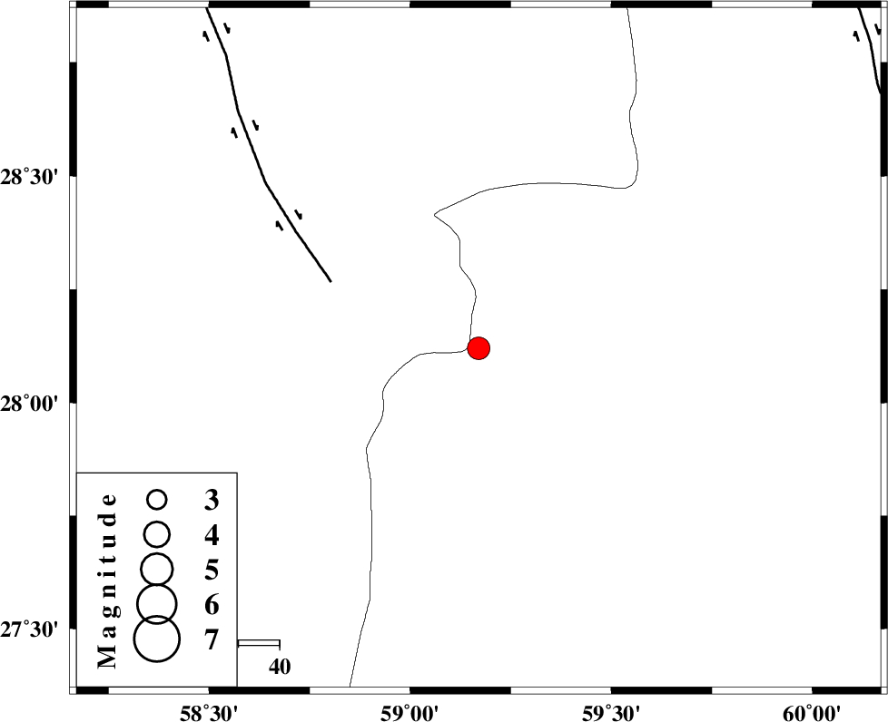
| Location | Lat:28.12 Lon: 59.17 |
| Region | Sistan va Baloochestan Province, 146 km North-East of Kahnuj |
Nearest Cities |
|
| 65 km North East of Borj-e abbasabad, Kerman Province | |
| 66 km South East of Hoseynabad, Kerman Province | |
| 72 km South East of Mohammadabad-e gonbaki, Kerman Province | |
| 78 km North West of Kalemursi, Sistan va Baloochestan Province | |
| 88 km South East of Void, Kerman Province | |
| Depth | 15 km |
| Agency | |
Faults within 150 km: |
|
| BAM_F (Length: 118 km) , Distance to epicenter: 39 km | |
| KANURAK_F (Length: 135 km) , Distance to epicenter: 102 km | |
| KASKIN_F (Length: 100 km) , Distance to epicenter: 106 km | |
| Number of Phases | 5 |
| RMS | 0.5 |
| Number of Stations | 5 |
| Error in Latitude | >7.7 km |
| Error in Longitude | 6.2 km |
| Error in Depth | 0 km |
Download waveform in seisan format
to download seisan software Click here
to access information about IIEES stations Click here
Amplitude | ||||||||
| UID | Agency | Station | Component | Amplitude | Period | Arrival Time | Proccessing Time | Signal Clip |
| 77637 | IIEES | BNDS | E | 180.3 | 0.4 | 2011-01-29 05:16:38 | 2011-01-29 05:22:00 | n |
| 77638 | IIEES | BNDS | N | 147 | 0.44 | 2011-01-29 05:16:42 | 2011-01-29 05:22:00 | n |
| 77639 | IIEES | KRBR | N | 162.4 | 0.61 | 2011-01-29 05:16:41 | 2011-01-29 05:22:00 | n |
| 77640 | IIEES | KRBR | E | 137.7 | 0.58 | 2011-01-29 05:16:44 | 2011-01-29 05:22:00 | n |
Phase | ||||||||||||
| Agency | Station | Component | Phase Type | Phase Quality | First Motion | Observed Arrival Time | Time Residual | Loc. Flag | Input Weight | Distance | Azimuth | |
| IIEES | ZHSF | Z | Pn | E | 2011-01-29 05:15:46 | 0.5 | y | 228 | 43 | |||
| IIEES | BNDS | Z | Pn | E | 2011-01-29 05:15:56 | 0.7 | y | 306 | 256 | |||
| IIEES | CHBR | Z | Pn | E | 2011-01-29 05:15:55 | -0.4 | y | 308 | 155 | |||
| IIEES | KRBR | Z | Pn | E | 2011-01-29 05:15:56 | -0.6 | y | 313 | 312 | |||
| IIEES | SHRT | Z | Pn | E | 2011-01-29 05:16:34 | -0.4 | y | 622 | 10 | |||