
Magnitude |
:3.6 |
| Date & Time (UTC) | 2011-01-28 11:50:04.9 |
| Date & Time (Local) | 1389/11/8 15:20:04.9 |
| Location | Lat:28.33 Lon: 59.11 |
| Region | Kerman Province, 114 km South-East of Bam |
Nearest Cities |
|
| 42 km South of Hoseynabad, Kerman Province | |
| 49 km South East of Mohammadabad-e gonbaki, Kerman Province | |
| 64 km South East of Void, Kerman Province | |
| 67 km North East of Borj-e abbasabad, Kerman Province | |
| 73 km South East of Fahroj, Kerman Province | |
| Depth | 14 km |
| Agency | |
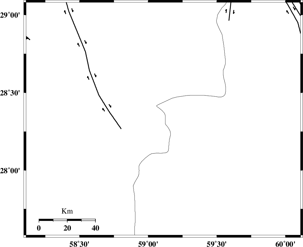
Faults within 150 km: |
|
| BAM_F (Length: 118 km) , Distance to epicenter: 31 km | |
| KANURAK_F (Length: 135 km) , Distance to epicenter: 85 km | |
| DAMAN_F (Length: 167 km) , Distance to epicenter: 107 km | |
| Number of Phases | 5 |
| RMS | 0.1 |
| Number of Stations | 3 |
| Error in Latitude | >5.6 km |
| Error in Longitude | 2.1 km |
| Error in Depth | 9.8 km |
Download waveform in seisan format
to download seisan software Click here
to access information about IIEES stations Click here
Amplitude | ||||||||
| UID | Agency | Station | Component | Amplitude | Period | Arrival Time | Proccessing Time | Signal Clip |
| 77595 | IIEES | KRBR | E | 154.9 | 1.7 | 2011-01-28 11:51:32 | 2011-01-28 12:08:00 | n |
| 77596 | IIEES | KRBR | N | 205.8 | 1.02 | 2011-01-28 11:51:32 | 2011-01-28 12:08:00 | n |
| 77597 | IIEES | BNDS | E | 262.5 | 1.3 | 2011-01-28 11:51:28 | 2011-01-28 12:08:00 | n |
| 77598 | IIEES | BNDS | N | 243.7 | 0.19 | 2011-01-28 11:51:31 | 2011-01-28 12:08:00 | n |
Phase | ||||||||||||
| Agency | Station | Component | Phase Type | Phase Quality | First Motion | Observed Arrival Time | Time Residual | Loc. Flag | Input Weight | Distance | Azimuth | |
| IIEES | ZHSF | Z | Pg | E | 2011-01-28 11:50:40 | -0.2 | y | 215 | 48 | |||
| IIEES | ZHSF | E | Sg | E | 2011-01-28 11:51:06 | 0.2 | y | 215 | 48 | |||
| IIEES | KRBR | Z | Pn | E | 2011-01-28 11:50:49 | -0.1 | y | 293 | 309 | |||
| IIEES | KRBR | N | Sg | E | 2011-01-28 11:51:27 | 0 | y | 293 | 309 | |||
| IIEES | BNDS | Z | Pn | E | 2011-01-28 11:50:51 | 0.1 | y | 308 | 251 | |||