
Magnitude |
:3.2 |
| Date & Time (UTC) | 2011-01-28 09:25:36.5 |
| Date & Time (Local) | 1389/11/8 12:55:36.5 |
| Location | Lat:28.31 Lon: 59.15 |
| Region | Sistan va Baloochestan Province, 118 km South-East of Bam |
Nearest Cities |
|
| 45 km South of Hoseynabad, Kerman Province | |
| 53 km South East of Mohammadabad-e gonbaki, Kerman Province | |
| 67 km South East of Void, Kerman Province | |
| 70 km North East of Borj-e abbasabad, Kerman Province | |
| 76 km South East of Fahroj, Kerman Province | |
| Depth | 16 km |
| Agency | |
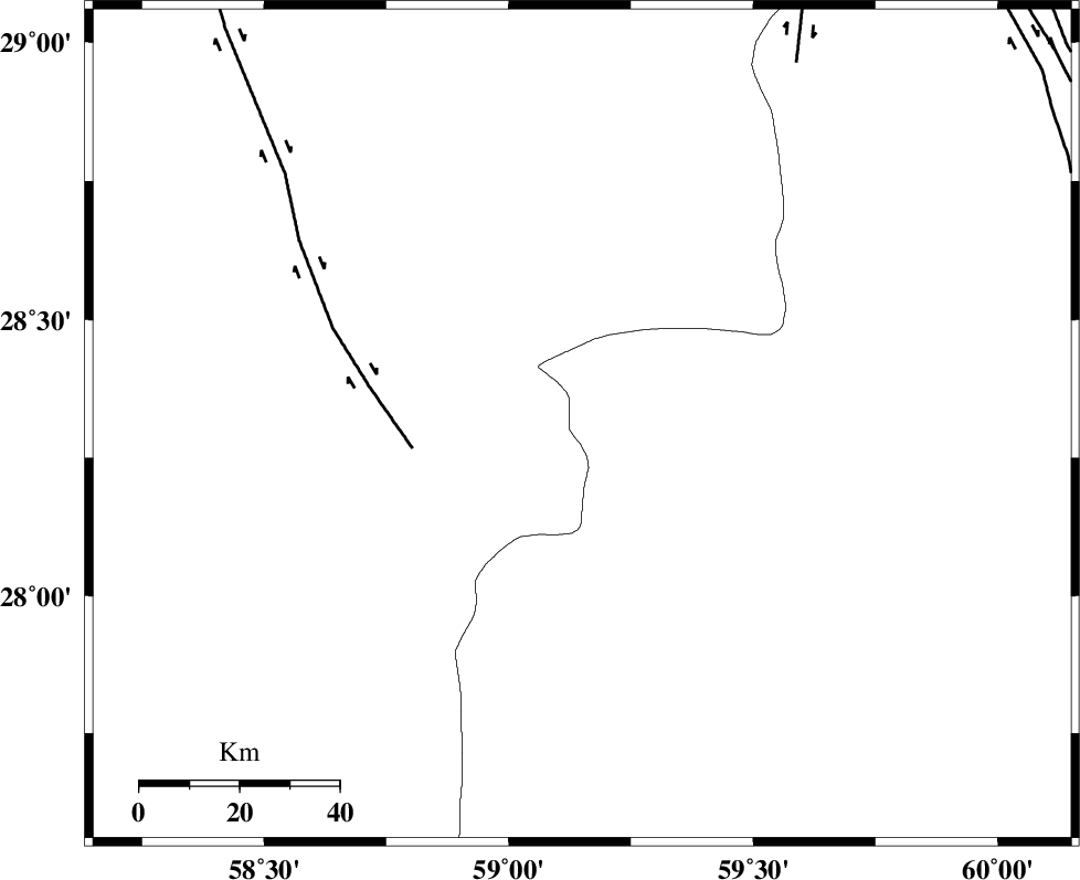
Faults within 150 km: |
|
| BAM_F (Length: 118 km) , Distance to epicenter: 34 km | |
| KANURAK_F (Length: 135 km) , Distance to epicenter: 84 km | |
| DAMAN_F (Length: 167 km) , Distance to epicenter: 103 km | |
| Number of Phases | 5 |
| RMS | 0.2 |
| Number of Stations | 3 |
| Error in Latitude | >7.6 km |
| Error in Longitude | 2.8 km |
| Error in Depth | 13 km |
Download waveform in seisan format
to download seisan software Click here
to access information about IIEES stations Click here
Amplitude | ||||||||
| UID | Agency | Station | Component | Amplitude | Period | Arrival Time | Proccessing Time | Signal Clip |
| 77591 | IIEES | KRBR | E | 80.2 | 0.33 | 2011-01-28 09:27:04 | 2011-01-28 09:32:00 | n |
| 77592 | IIEES | KRBR | N | 96.4 | 0.38 | 2011-01-28 09:27:04 | 2011-01-28 09:32:00 | n |
| 77593 | IIEES | BNDS | N | 84.2 | 0.88 | 2011-01-28 09:27:02 | 2011-01-28 09:32:00 | n |
| 77594 | IIEES | BNDS | E | 89.5 | 0.2 | 2011-01-28 09:27:07 | 2011-01-28 09:32:00 | n |
Phase | ||||||||||||
| Agency | Station | Component | Phase Type | Phase Quality | First Motion | Observed Arrival Time | Time Residual | Loc. Flag | Input Weight | Distance | Azimuth | |
| IIEES | ZHSF | Z | Pg | E | 2011-01-28 09:26:11 | -0.3 | y | 215 | 47 | |||
| IIEES | ZHSF | E | Sg | E | 2011-01-28 09:26:37 | 0.2 | y | 215 | 47 | |||
| IIEES | KRBR | Z | Pn | E | 2011-01-28 09:26:21 | -0.2 | y | 298 | 309 | |||
| IIEES | KRBR | N | Sg | E | 2011-01-28 09:27:00 | 0.1 | y | 298 | 309 | |||
| IIEES | BNDS | Z | Pn | E | 2011-01-28 09:26:22 | 0.2 | y | 310 | 252 | |||