
Magnitude |
:3.1 |
| Date & Time (UTC) | 2011-01-27 14:26:14.1 |
| Date & Time (Local) | 1389/11/7 17:56:14.1 |
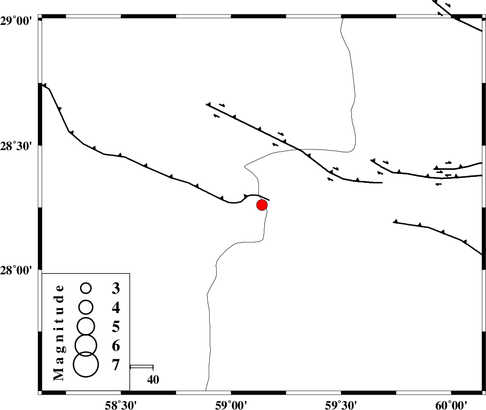
| Location | Lat:28.26 Lon: 59.14 |
| Region | Kerman Province, 122 km South-East of Bam |
Nearest Cities |
|
| 50 km South of Hoseynabad, Kerman Province | |
| 57 km South East of Mohammadabad-e gonbaki, Kerman Province | |
| 67 km North East of Borj-e abbasabad, Kerman Province | |
| 72 km South East of Void, Kerman Province | |
| 81 km South East of Fahroj, Kerman Province | |
| Depth | 14 km |
| Agency | |
Faults within 150 km: |
|
| BAM_F (Length: 118 km) , Distance to epicenter: 33 km | |
| KANURAK_F (Length: 135 km) , Distance to epicenter: 90 km | |
| DAMAN_F (Length: 167 km) , Distance to epicenter: 105 km | |
| Number of Phases | 5 |
| RMS | 0.1 |
| Number of Stations | 3 |
| Error in Latitude | >5.3 km |
| Error in Longitude | 1.8 km |
| Error in Depth | 8.5 km |
Download waveform in seisan format
to download seisan software Click here
to access information about IIEES stations Click here
Amplitude | ||||||||
| UID | Agency | Station | Component | Amplitude | Period | Arrival Time | Proccessing Time | Signal Clip |
| 77437 | IIEES | KRBR | N | 63.6 | 0.48 | 2011-01-27 14:27:42 | 2011-01-27 02:36:00 | n |
| 77438 | IIEES | KRBR | E | 65.6 | 0.44 | 2011-01-27 14:27:43 | 2011-01-27 02:36:00 | n |
| 77439 | IIEES | BNDS | E | 63 | 0.32 | 2011-01-27 14:27:40 | 2011-01-27 02:36:00 | n |
| 77440 | IIEES | BNDS | N | 72.9 | 0.36 | 2011-01-27 14:27:41 | 2011-01-27 02:36:00 | n |
Phase | ||||||||||||
| Agency | Station | Component | Phase Type | Phase Quality | First Motion | Observed Arrival Time | Time Residual | Loc. Flag | Input Weight | Distance | Azimuth | |
| IIEES | ZHSF | Z | Pn | E | 2011-01-27 14:26:49 | 0.2 | y | 219 | 46 | |||
| IIEES | ZHSF | E | Sg | E | 2011-01-27 14:27:16 | -0.1 | y | 219 | 46 | |||
| IIEES | KRBR | Z | Pn | E | 2011-01-27 14:26:59 | -0.1 | y | 300 | 310 | |||
| IIEES | KRBR | N | Sg | E | 2011-01-27 14:27:38 | 0 | y | 300 | 310 | |||
| IIEES | BNDS | Z | Pn | E | 2011-01-27 14:27:00 | -0.1 | y | 308 | 253 | |||