
Magnitude |
:3 |
| Date & Time (UTC) | 2011-01-27 09:47:30.6 |
| Date & Time (Local) | 1389/11/7 13:17:30.6 |
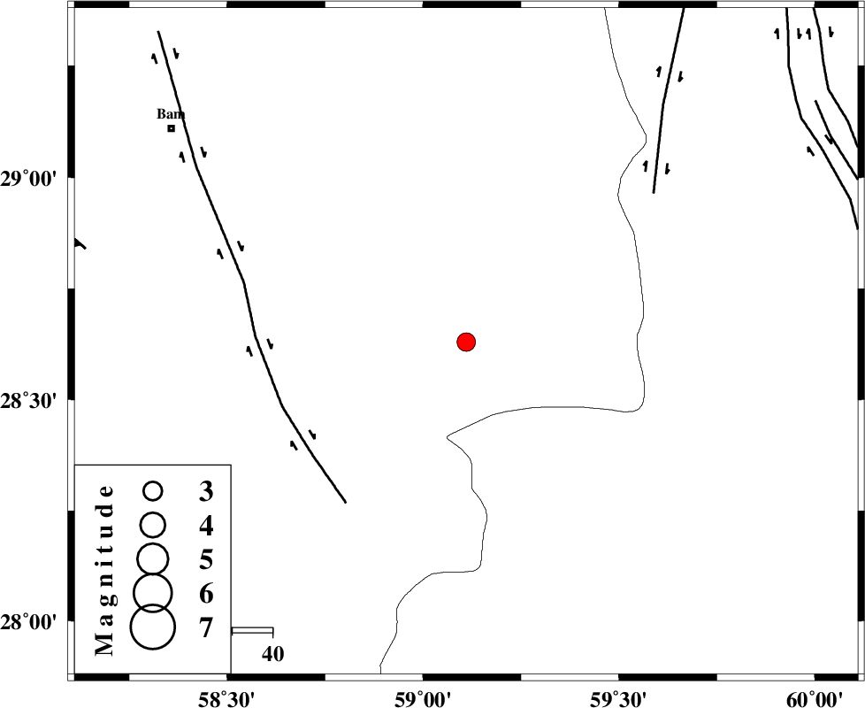
| Location | Lat:28.63 Lon: 59.11 |
| Region | Kerman Province, 91 km South-East of Bam |
Nearest Cities |
|
| 9 km of Hoseynabad, Kerman Province | |
| 25 km East of Mohammadabad-e gonbaki, Kerman Province | |
| 34 km South East of Void, Kerman Province | |
| 42 km South East of Fahroj, Kerman Province | |
| 59 km South East of Qasemabad, Kerman Province | |
| Depth | 15 km |
| Agency | |
Faults within 150 km: |
|
| BAM_F (Length: 118 km) , Distance to epicenter: 48 km | |
| KANURAK_F (Length: 135 km) , Distance to epicenter: 60 km | |
| GOWK_F (Length: 152 km) , Distance to epicenter: 98 km | |
| Number of Phases | 5 |
| RMS | 0.3 |
| Number of Stations | 5 |
| Error in Latitude | >4.1 km |
| Error in Longitude | 3 km |
| Error in Depth | 0 km |
Download waveform in seisan format
to download seisan software Click here
to access information about IIEES stations Click here
Amplitude | ||||||||
| UID | Agency | Station | Component | Amplitude | Period | Arrival Time | Proccessing Time | Signal Clip |
| 77405 | IIEES | KRBR | N | 69.9 | 0.11 | 2011-01-27 09:48:53 | 2011-01-27 11:03:00 | n |
| 77406 | IIEES | BNDS | E | 51.6 | 0.42 | 2011-01-27 09:48:55 | 2011-01-27 11:03:00 | n |
Phase | ||||||||||||
| Agency | Station | Component | Phase Type | Phase Quality | First Motion | Observed Arrival Time | Time Residual | Loc. Flag | Input Weight | Distance | Azimuth | |
| IIEES | ZHSF | Z | Pn | E | 2011-01-27 09:48:02 | -0.4 | y | 195 | 56 | |||
| IIEES | KRBR | Z | Pn | E | 2011-01-27 09:48:12 | 0 | y | 274 | 304 | |||
| IIEES | BNDS | Z | Pn | E | 2011-01-27 09:48:17 | -0.2 | y | 320 | 245 | |||
| IIEES | CHBR | Z | Pn | E | 2011-01-27 09:48:23 | 0.2 | y | 362 | 158 | |||
| IIEES | SHRT | Z | Pn | E | 2011-01-27 09:48:49 | 0.6 | y | 568 | 11 | |||