
Magnitude |
:3.1 |
| Date & Time (UTC) | 2011-01-18 13:56:44.5 |
| Date & Time (Local) | 1389/10/28 17:26:44.5 |
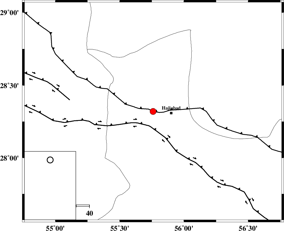
| Location | Lat:28.32 Lon: 55.76 |
| Region | Hormozgan Province, 14 km West of Hajiabad |
Nearest Cities |
|
| 14 km North West of Hajiabad, Hormozgan Province | |
| 49 km South East of Tal bargah, Fars Province | |
| 54 km North East of Doborji, Fars Province | |
| 57 km North West of Fareqan, Hormozgan Province | |
| 58 km North East of Fadami, Fars Province | |
| Depth | 15 km |
| Agency | |
Faults within 150 km: |
|
| MAIN_ZAGROS_R_F (Length: 1106 km) , Distance to epicenter: 0 km | |
| HZF2 (Length: 437 km) , Distance to epicenter: 11 km | |
| HZF1 (Length: 102 km) , Distance to epicenter: 64 km | |
| Number of Phases | 3 |
| RMS | 0 |
| Number of Stations | 3 |
| Error in Latitude | >1.5 km |
| Error in Longitude | 2.2 km |
| Error in Depth | 0 km |
Download waveform in seisan format
to download seisan software Click here
to access information about IIEES stations Click here
Amplitude | ||||||||
| UID | Agency | Station | Component | Amplitude | Period | Arrival Time | Proccessing Time | Signal Clip |
| 77229 | IIEES | BNDS | N | 502.2 | 0.46 | 2011-01-18 13:57:23 | 2011-01-18 02:06:00 | n |
| 77230 | IIEES | BNDS | E | 497.8 | 0.19 | 2011-01-18 13:57:24 | 2011-01-18 02:06:00 | n |
| 77231 | IIEES | GHIR | E | 62.2 | 0.8 | 2011-01-18 13:58:17 | 2011-01-18 02:06:00 | n |
| 77232 | IIEES | GHIR | N | 97.6 | 1.2 | 2011-01-18 13:58:21 | 2011-01-18 02:06:00 | n |
| 77233 | IIEES | KRBR | N | 147.8 | 0.39 | 2011-01-18 13:57:54 | 2011-01-18 02:06:00 | n |
Phase | ||||||||||||
| Agency | Station | Component | Phase Type | Phase Quality | First Motion | Observed Arrival Time | Time Residual | Loc. Flag | Input Weight | Distance | Azimuth | |
| IIEES | BNDS | Z | Pg | E | 2011-01-18 13:57:03 | 0 | y | 110 | 158 | |||
| IIEES | KRBR | Z | Pg | E | 2011-01-18 13:57:18 | 0 | y | 208 | 28 | |||
| IIEES | GHIR | Z | Pn | E | 2011-01-18 13:57:26 | 0 | y | 272 | 270 | |||