
Magnitude |
:3.3 |
| Date & Time (UTC) | 2011-01-16 05:09:49.0 |
| Date & Time (Local) | 1389/10/26 08:39:49.0 |
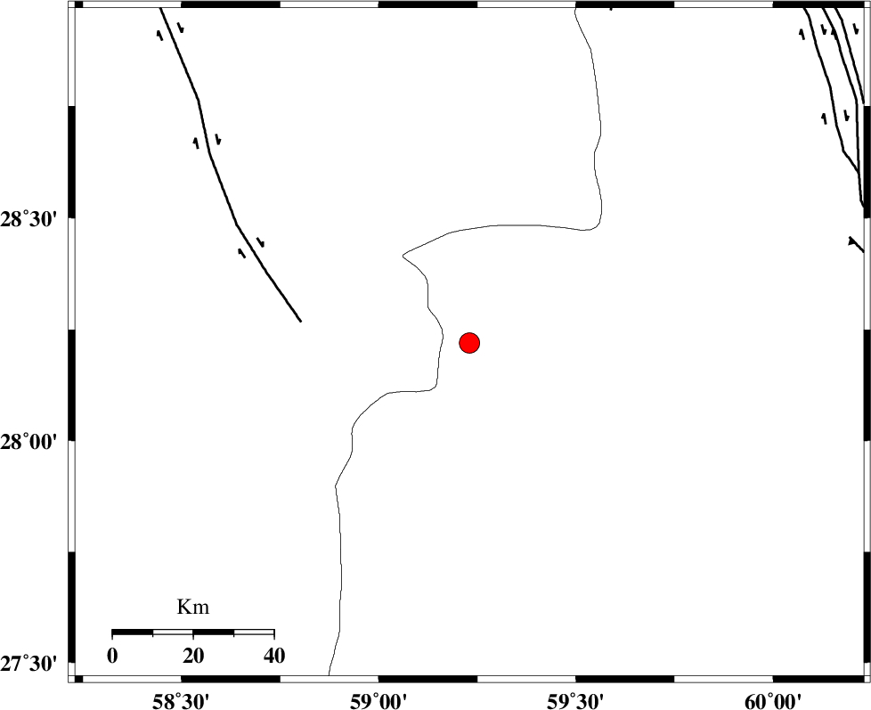
| Location | Lat:28.22 Lon: 59.23 |
| Region | Sistan va Baloochestan Province, 130 km South-East of Bam |
Nearest Cities |
|
| 56 km South East of Hoseynabad, Kerman Province | |
| 65 km South East of Mohammadabad-e gonbaki, Kerman Province | |
| 73 km North East of Borj-e abbasabad, Kerman Province | |
| 79 km South East of Void, Kerman Province | |
| 87 km North West of Kalemursi, Sistan va Baloochestan Province | |
| Depth | 14 km |
| Agency | |
Faults within 150 km: |
|
| BAM_F (Length: 118 km) , Distance to epicenter: 42 km | |
| KANURAK_F (Length: 135 km) , Distance to epicenter: 90 km | |
| DAMAN_F (Length: 167 km) , Distance to epicenter: 98 km | |
| Number of Phases | 6 |
| RMS | 0.4 |
| Number of Stations | 5 |
| Error in Latitude | >5.8 km |
| Error in Longitude | 6.8 km |
| Error in Depth | 19.5 km |
Download waveform in seisan format
to download seisan software Click here
to access information about IIEES stations Click here
Amplitude | ||||||||
| UID | Agency | Station | Component | Amplitude | Period | Arrival Time | Proccessing Time | Signal Clip |
| 77174 | IIEES | KRBR | N | 95.5 | 0.26 | 2011-01-16 05:11:16 | 2011-01-16 05:32:00 | n |
| 77175 | IIEES | BNDS | N | 116.9 | 0.45 | 2011-01-16 05:11:20 | 2011-01-16 05:32:00 | n |
| 77176 | IIEES | BNDS | E | 101.6 | 0.48 | 2011-01-16 05:11:25 | 2011-01-16 05:32:00 | n |
Phase | ||||||||||||
| Agency | Station | Component | Phase Type | Phase Quality | First Motion | Observed Arrival Time | Time Residual | Loc. Flag | Input Weight | Distance | Azimuth | |
| IIEES | ZHSF | Z | Pn | E | 2011-01-16 05:10:24 | 0.5 | y | 216 | 44 | |||
| IIEES | ZHSF | N | Sg | E | 2011-01-16 05:10:50 | 0 | y | 216 | 44 | |||
| IIEES | KRBR | Z | Pn | E | 2011-01-16 05:10:35 | 0.1 | y | 309 | 310 | |||
| IIEES | BNDS | Z | Pn | E | 2011-01-16 05:10:35 | 0.1 | y | 314 | 254 | |||
| IIEES | CHBR | Z | Pn | E | 2011-01-16 05:10:35 | -0.2 | y | 316 | 156 | |||
| IIEES | SHRT | Z | Pn | E | 2011-01-16 05:11:11 | -0.8 | y | 610 | 9 | |||