
Magnitude |
:4.1 |
| Date & Time (UTC) | 2010-12-20 19:33:11.5 |
| Date & Time (Local) | 1389/9/29 23:03:11.5 |
| Location | Lat:28.31 Lon: 59.22 |
| Region | Sistan va Baloochestan Province, 122 km South-East of Bam |
Nearest Cities |
|
| 46 km South East of Hoseynabad, Kerman Province | |
| 57 km South East of Mohammadabad-e gonbaki, Kerman Province | |
| 70 km South East of Void, Kerman Province | |
| 76 km North East of Borj-e abbasabad, Kerman Province | |
| 79 km South East of Fahroj, Kerman Province | |
| Depth | 15 km |
| Agency | |
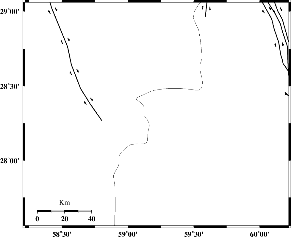
Faults within 150 km: |
|
| BAM_F (Length: 118 km) , Distance to epicenter: 41 km | |
| KANURAK_F (Length: 135 km) , Distance to epicenter: 81 km | |
| DAMAN_F (Length: 167 km) , Distance to epicenter: 97 km | |
| Number of Phases | 5 |
| RMS | 0.6 |
| Number of Stations | 5 |
| Error in Latitude | >8.3 km |
| Error in Longitude | 6.8 km |
| Error in Depth | 0 km |
Download waveform in seisan format
to download seisan software Click here
to access information about IIEES stations Click here
Amplitude | ||||||||
| UID | Agency | Station | Component | Amplitude | Period | Arrival Time | Proccessing Time | Signal Clip |
| 75750 | IIEES | KRBR | N | 596.2 | 0.44 | 2010-12-20 19:34:39 | 2010-12-20 10:06:00 | n |
| 75751 | IIEES | KRBR | E | 436.8 | 0.44 | 2010-12-20 19:34:48 | 2010-12-20 10:06:00 | n |
| 75752 | IIEES | TABS | N | 127.4 | 0.68 | 2010-12-20 19:36:18 | 2010-12-20 10:06:00 | n |
| 75753 | IIEES | TABS | E | 72.9 | 0.64 | 2010-12-20 19:36:19 | 2010-12-20 10:06:00 | n |
Phase | ||||||||||||
| Agency | Station | Component | Phase Type | Phase Quality | First Motion | Observed Arrival Time | Time Residual | Loc. Flag | Input Weight | Distance | Azimuth | |
| IIEES | KRBR | Z | Pn | E | 2010-12-20 19:33:57 | 0.8 | y | 303 | 308 | |||
| IIEES | CHBR | Z | Pn | E | 2010-12-20 19:33:59 | 0.1 | y | 326 | 157 | |||
| IIEES | SHRT | Z | Pn | E | 2010-12-20 19:34:33 | 0 | y | 601 | 10 | |||
| IIEES | GHIR | Z | Pn | E | 2010-12-20 19:34:34 | -0.8 | y | 611 | 271 | |||
| IIEES | TABS | Z | Pn | E | 2010-12-20 19:34:36 | -0.7 | y | 625 | 342 | |||