
Magnitude |
:3 |
| Date & Time (UTC) | 2010-11-28 20:20:01.4 |
| Date & Time (Local) | 1389/9/7 23:50:01.4 |
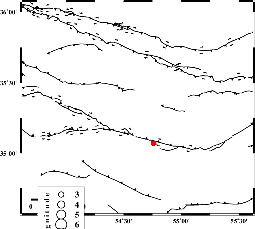
| Location | Lat:35.32 Lon: 54.62 |
| Region | Semnan Province, 97 km South-East of Damghan |
Nearest Cities |
|
| 89 km South East of Amirabad, Semnan Province | |
| 92 km South East of Seydabad, Semnan Province | |
| 97 km South East of Damghan, Semnan Province | |
| 99 km South East of Darvar, Semnan Province | |
| 100 km South of Mehmandust, Semnan Province | |
| Depth | 6 km |
| Agency | |
Faults within 150 km: |
|
| TORUD_F (Length: 136 km) , Distance to epicenter: 7 km | |
| MEYAMEY_F (Length: 141 km) , Distance to epicenter: 94 km | |
| ATARI_F (Length: 185 km) , Distance to epicenter: 94 km | |
| Number of Phases | 6 |
| RMS | 0.1 |
| Number of Stations | 5 |
| Error in Latitude | >2.2 km |
| Error in Longitude | 2.5 km |
| Error in Depth | 6.5 km |
Download waveform in seisan format
to download seisan software Click here
to access information about IIEES stations Click here
Amplitude | ||||||||
| UID | Agency | Station | Component | Amplitude | Period | Arrival Time | Proccessing Time | Signal Clip |
| 74730 | IIEES | DAMV | E | 92.3 | 0.36 | 2010-11-28 20:21:14 | 2010-11-28 08:31:00 | n |
| 74731 | IIEES | DAMV | N | 100.4 | 0.6 | 2010-11-28 20:21:15 | 2010-11-28 08:31:00 | n |
| 74732 | IIEES | MRVT | E | 46.2 | 0.84 | 2010-11-28 20:21:25 | 2010-11-28 08:31:00 | n |
Phase | ||||||||||||
| Agency | Station | Component | Phase Type | Phase Quality | First Motion | Observed Arrival Time | Time Residual | Loc. Flag | Input Weight | Distance | Azimuth | |
| IIEES | SHRO | Z | P | E | 2010-11-28 20:20:26 | -0.1 | y | 147 | 58 | |||
| IIEES | SHRO | N | Sg | E | 2010-11-28 20:20:45 | 0 | y | 147 | 58 | |||
| IIEES | DAMV | Z | P | E | 2010-11-28 20:20:40 | 0.1 | y | 243 | 279 | |||
| IIEES | MRVT | Z | P | E | 2010-11-28 20:20:46 | 0 | y | 291 | 26 | |||
| IIEES | TABS | Z | P | E | 2010-11-28 20:20:46 | 0.1 | y | 295 | 128 | |||
| IIEES | NASN | Z | P | E | 2010-11-28 20:20:50 | -0.1 | y | 326 | 211 | |||