
Magnitude |
:2.6 |
| Date & Time (UTC) | 2010-09-17 14:13:38.9 |
| Date & Time (Local) | 1389/6/26 18:43:38.9 |
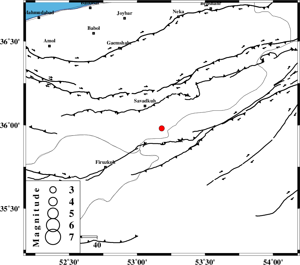
| Location | Lat:35.98 Lon: 53.18 |
| Region | Mazandaran Province, 18 km South-East of Pol-E-Sefid |
Nearest Cities |
|
| 11 km of Sangdeh, Mazandaran Province | |
| 12 km North of Chashem, Semnan Province | |
| 17 km South East of Shurmast-e peyrudbar, Mazandaran Province | |
| 19 km South East of Pol-E-Sefid, Mazandaran Province | |
| 22 km South East of Elahband, Mazandaran Province | |
| Depth | 6 km |
| Agency | |
Faults within 150 km: |
|
| N_ALBORZ_F (Length: 360 km) , Distance to epicenter: 25 km | |
| ATARI_F (Length: 185 km) , Distance to epicenter: 33 km | |
| KHAZAR_F (Length: 523 km) , Distance to epicenter: 57 km | |
| Number of Phases | 7 |
| RMS | 0.1 |
| Number of Stations | 6 |
| Error in Latitude | >4.5 km |
| Error in Longitude | 2 km |
| Error in Depth | 3.3 km |
Download waveform in seisan format
to download seisan software Click here
to access information about IIEES stations Click here
Amplitude | ||||||||
| UID | Agency | Station | Component | Amplitude | Period | Arrival Time | Proccessing Time | Signal Clip |
| 70550 | IIEES | DAMV | E | 102 | 0.68 | 2010-09-17 14:14:19 | 2010-09-17 02:45:00 | n |
| 70551 | IIEES | DAMV | N | 98.8 | 0.4 | 2010-09-17 14:14:22 | 2010-09-17 02:45:00 | n |
| 70552 | IIEES | THKV | E | 33 | 0.68 | 2010-09-17 14:14:47 | 2010-09-17 02:45:00 | n |
| 70553 | IIEES | THKV | N | 35.5 | 0.52 | 2010-09-17 14:14:50 | 2010-09-17 02:45:00 | n |
| 70554 | IIEES | GHVR | E | 80.3 | 0.68 | 2010-09-17 14:14:50 | 2010-09-17 02:45:00 | n |
| 70555 | IIEES | GHVR | N | 68.7 | 0.64 | 2010-09-17 14:14:55 | 2010-09-17 02:45:00 | n |
Phase | ||||||||||||
| Agency | Station | Component | Phase Type | Phase Quality | First Motion | Observed Arrival Time | Time Residual | Loc. Flag | Input Weight | Distance | Azimuth | |
| IIEES | DAMV | Z | Pg | E | 2010-09-17 14:13:59 | -0.1 | y | 116 | 251 | |||
| IIEES | DAMV | N | Sg | E | 2010-09-17 14:14:13 | 0 | y | 116 | 251 | |||
| IIEES | CHTH | Z | Pn | E | 2010-09-17 14:14:10 | 0 | y | 185 | 268 | |||
| IIEES | THKV | Z | Pn | E | 2010-09-17 14:14:13 | 0.1 | y | 208 | 269 | |||
| IIEES | GHVR | Z | Pn | E | 2010-09-17 14:14:17 | 0.1 | y | 242 | 227 | |||
| IIEES | SHRO | Z | Pn | E | 2010-09-17 14:14:19 | 0 | y | 256 | 89 | |||
| IIEES | ASAO | Z | Pn | E | 2010-09-17 14:14:28 | 0 | y | 328 | 242 | |||