
Magnitude |
:2.7 |
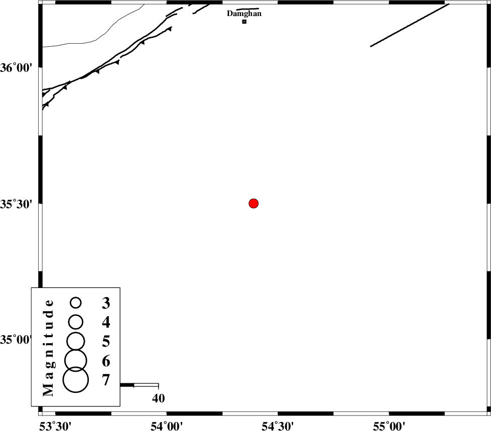
| Date & Time (UTC) | 2010-08-28 02:06:48.0 |
| Date & Time (Local) | 1389/6/6 06:36:48.0 |
| Location | Lat:35.48 Lon: 54.44 |
| Region | Semnan Province, 77 km South of Damghan |
Nearest Cities |
|
| 66 km South East of Amirabad, Semnan Province | |
| 69 km South East of Seydabad, Semnan Province | |
| 75 km South East of Darvar, Semnan Province | |
| 77 km South of Damghan, Semnan Province | |
| 83 km South West of Mehmandust, Semnan Province | |
| Depth | 18 km |
| Agency | |
Faults within 150 km: |
|
| TORUD_F (Length: 136 km) , Distance to epicenter: 23 km | |
| ATARI_F (Length: 185 km) , Distance to epicenter: 71 km | |
| MEYAMEY_F (Length: 141 km) , Distance to epicenter: 84 km | |
| Number of Phases | 4 |
| RMS | 0.2 |
| Number of Stations | 3 |
| Error in Latitude | >5.1 km |
| Error in Longitude | 4.1 km |
| Error in Depth | 7.2 km |
Download waveform in seisan format
to download seisan software Click here
to access information about IIEES stations Click here
Amplitude | ||||||||
| UID | Agency | Station | Component | Amplitude | Period | Arrival Time | Proccessing Time | Signal Clip |
| 69600 | IIEES | DAMV | E | 77.6 | 0.44 | 2010-08-28 02:07:55 | 2010-08-29 12:45:00 | n |
| 69601 | IIEES | DAMV | N | 72.5 | 0.56 | 2010-08-28 02:07:59 | 2010-08-29 12:45:00 | n |
| 69602 | IIEES | MRVT | E | 20.3 | 0.32 | 2010-08-28 02:08:10 | 2010-08-29 12:45:00 | n |
Phase | ||||||||||||
| Agency | Station | Component | Phase Type | Phase Quality | First Motion | Observed Arrival Time | Time Residual | Loc. Flag | Input Weight | Distance | Azimuth | |
| IIEES | SHRO | N | Pg | E | 2010-08-28 02:07:13 | 0.1 | y | 154 | 67 | |||
| IIEES | DAMV | Z | Pg | E | 2010-08-28 02:07:24 | 0.1 | y | 224 | 275 | |||
| IIEES | MRVT | Z | Pn | E | 2010-08-28 02:07:30 | -0.3 | y | 284 | 31 | |||
| IIEES | MRVT | N | Sg | E | 2010-08-28 02:08:08 | 0.1 | y | 284 | 31 | |||