
Magnitude |
:2.9 |
| Date & Time (UTC) | 2010-08-18 23:33:01.5 |
| Date & Time (Local) | 1389/5/28 04:03:01.5 |
| Location | Lat:36.64 Lon: 52.42 |
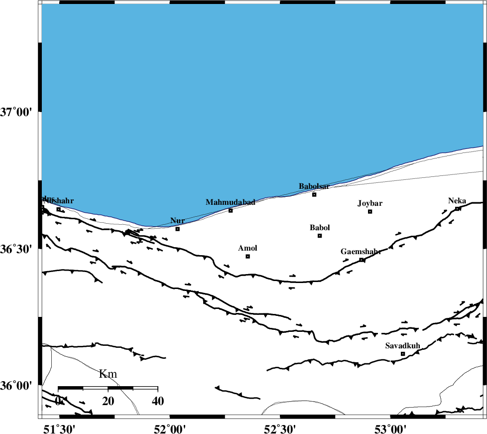
| Region | Mazandaran Province, 13 km East of Mahmud Abad |
Nearest Cities |
|
| 5 km North of Kargard-e mahalleh, Mazandaran Province | |
| 5 km of Bisheh kola, Mazandaran Province | |
| 5 km of Sorkhrud, Mazandaran Province | |
| 10 km West of Fereidunkenar, Mazandaran Province | |
| 13 km North East of Mahmud Abad, Mazandaran Province | |
| Depth | 17 km |
| Agency | |
Faults within 150 km: |
|
| KHAZAR_F (Length: 523 km) , Distance to epicenter: 28 km | |
| N_ALBORZ_F (Length: 360 km) , Distance to epicenter: 42 km | |
| KOJOOR (Length: 75 km) , Distance to epicenter: 71 km | |
| Number of Phases | 7 |
| RMS | 0 |
| Number of Stations | 5 |
| Error in Latitude | >1.8 km |
| Error in Longitude | 1.6 km |
| Error in Depth | 3.3 km |
Download waveform in seisan format
to download seisan software Click here
to access information about IIEES stations Click here
Amplitude | ||||||||
| UID | Agency | Station | Component | Amplitude | Period | Arrival Time | Proccessing Time | Signal Clip |
| 69464 | IIEES | THKV | N | 170 | 0.4 | 2010-08-18 23:33:49 | 2010-08-29 12:45:00 | n |
| 69465 | IIEES | THKV | E | 142.5 | 0.4 | 2010-08-18 23:33:53 | 2010-08-29 12:45:00 | n |
| 69466 | IIEES | ZNJK | E | 33.8 | 0.33 | 2010-08-18 23:33:56 | 2010-08-29 12:45:00 | n |
Phase | ||||||||||||
| Agency | Station | Component | Phase Type | Phase Quality | First Motion | Observed Arrival Time | Time Residual | Loc. Flag | Input Weight | Distance | Azimuth | |
| IIEES | DAMV | Z | Pg | E | 2010-08-18 23:33:21 | 0 | y | 119 | 200 | |||
| IIEES | DAMV | E | Sg | E | 2010-08-18 23:33:36 | 0 | y | 119 | 200 | |||
| IIEES | THKV | Z | Pg | E | 2010-08-18 23:33:28 | 0 | y | 160 | 240 | |||
| IIEES | THKV | N | Sg | E | 2010-08-18 23:33:47 | 0 | y | 160 | 240 | |||
| IIEES | ASAO | Z | Pn | E | 2010-08-18 23:33:48 | 0 | y | 318 | 224 | |||
| IIEES | ZNJK | Z | Pn | E | 2010-08-18 23:33:50 | 0 | y | 334 | 272 | |||
| IIEES | MRVT | Z | Pn | E | 2010-08-18 23:33:51 | 0 | y | 345 | 70 | |||