
Magnitude |
:2.9 |
| Date & Time (UTC) | 2010-08-29 21:57:36.9 |
| Date & Time (Local) | 1389/6/8 02:27:36.9 |
| Location | Lat:35.39 Lon: 54.56 |
| Region | Semnan Province, 88 km South-East of Damghan |
Nearest Cities |
|
| 80 km South East of Amirabad, Semnan Province | |
| 83 km South East of Seydabad, Semnan Province | |
| 88 km South East of Damghan, Semnan Province | |
| 90 km South East of Darvar, Semnan Province | |
| 92 km South of Mehmandust, Semnan Province | |
| Depth | 14 km |
| Agency | |
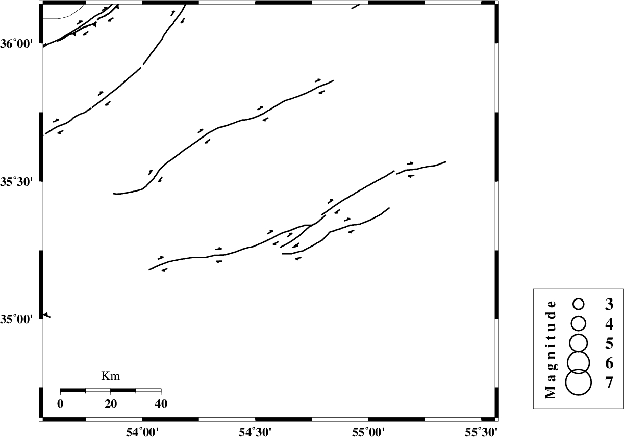
Faults within 150 km: |
|
| TORUD_F (Length: 136 km) , Distance to epicenter: 13 km | |
| ATARI_F (Length: 185 km) , Distance to epicenter: 85 km | |
| MEYAMEY_F (Length: 141 km) , Distance to epicenter: 88 km | |
| Number of Phases | 7 |
| RMS | 0.1 |
| Number of Stations | 7 |
| Error in Latitude | >2.7 km |
| Error in Longitude | 1.4 km |
| Error in Depth | 4.3 km |
Download waveform in seisan format
to download seisan software Click here
to access information about IIEES stations Click here
Amplitude | ||||||||
| UID | Agency | Station | Component | Amplitude | Period | Arrival Time | Proccessing Time | Signal Clip |
| 69430 | IIEES | DAMV | E | 84.2 | 0.36 | 2010-08-29 21:58:46 | 2010-08-29 10:23:00 | n |
| 69431 | IIEES | GHVR | E | 30.3 | 0.52 | 2010-08-29 21:59:26 | 2010-08-29 10:23:00 | n |
| 69432 | IIEES | THKV | E | 34.9 | 0.52 | 2010-08-29 21:59:18 | 2010-08-29 10:23:00 | n |
Phase | ||||||||||||
| Agency | Station | Component | Phase Type | Phase Quality | First Motion | Observed Arrival Time | Time Residual | Loc. Flag | Input Weight | Distance | Azimuth | |
| IIEES | SHRO | Z | Pg | E | 2010-08-29 21:58:01 | 0.1 | y | 148 | 62 | |||
| IIEES | SHRO | E | Sg | E | 2010-08-29 21:58:19 | -0.1 | y | 148 | 62 | |||
| IIEES | DAMV | Z | P | E | 2010-08-29 21:58:14 | 0.2 | y | 236 | 277 | |||
| IIEES | DAMV | N | Sg | E | 2010-08-29 21:58:43 | -0.2 | y | 236 | 277 | |||
| IIEES | MRVT | Z | Pn | E | 2010-08-29 21:58:20 | 0 | y | 286 | 28 | |||
| IIEES | TABS | Z | P | E | 2010-08-29 21:58:22 | 0 | y | 304 | 129 | |||
| IIEES | NASN | Z | Pn | E | 2010-08-29 21:58:25 | -0.1 | y | 330 | 210 | |||