
Magnitude |
:3.2 |
| Date & Time (UTC) | 2010-06-04 22:20:48.9 |
| Date & Time (Local) | 1389/3/15 02:50:48.9 |
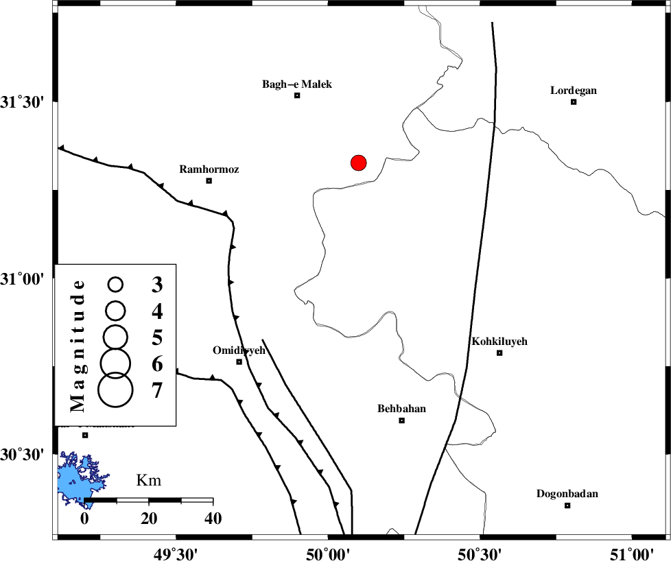
| Location | Lat:31.02 Lon: 50.11 |
| Region | Kohkiluieh va boyerahmad Province, 48 km North-West of Behbahan |
Nearest Cities |
|
| 30 km North East of Jayzan, Khoozestan Province | |
| 30 km North East of Jolaki, Khoozestan Province | |
| 30 km North West of Lendeh, Kohkiluieh va boyerahmad Province | |
| 34 km South West of Esfandan, Kohkiluieh va boyerahmad Province | |
| 35 km North of Dodange-ye bozorg, Khoozestan Province | |
| Depth | 18 km |
| Agency | |
Faults within 150 km: |
|
| MFF4 (Length: 62 km) , Distance to epicenter: 3 km | |
| MFF2 (Length: 205 km) , Distance to epicenter: 31 km | |
| DEZFUL_EMBAYMENT (Length: 228 km) , Distance to epicenter: 35 km | |
| Number of Phases | 6 |
| RMS | 0.2 |
| Number of Stations | 5 |
| Error in Latitude | >6.4 km |
| Error in Longitude | 7.2 km |
| Error in Depth | 10.2 km |
Download waveform in seisan format
to download seisan software Click here
to access information about IIEES stations Click here
Amplitude | ||||||||
| UID | Agency | Station | Component | Amplitude | Period | Arrival Time | Proccessing Time | Signal Clip |
| 63779 | IIEES | SHGR | E | 419.9 | 0.34 | 2010-06-04 22:21:46 | 2010-06-07 09:05:00 | n |
| 63780 | IIEES | SHGR | N | 600.8 | 0.57 | 2010-06-04 22:21:47 | 2010-06-07 09:05:00 | n |
| 63781 | IIEES | KHMZ | E | 55.6 | 0.68 | 2010-06-04 22:22:28 | 2010-06-07 09:05:00 | n |
| 63782 | IIEES | SNGE | N | 19.9 | 0.32 | 2010-06-04 22:22:57 | 2010-06-07 09:05:00 | n |
| 63783 | IIEES | SNGE | E | 14.5 | 0.59 | 2010-06-04 22:23:04 | 2010-06-07 09:05:00 | n |
Phase | ||||||||||||
| Agency | Station | Component | Phase Type | Phase Quality | First Motion | Observed Arrival Time | Time Residual | Loc. Flag | Input Weight | Distance | Azimuth | |
| IIEES | SHGR | Z | Pg | E | 2010-06-04 22:21:17 | 0.1 | y | 174 | 315 | |||
| IIEES | KHMZ | Z | Pn | E | 2010-06-04 22:21:34 | 0.2 | y | 302 | 357 | |||
| IIEES | KHMZ | N | Sg | E | 2010-06-04 22:22:14 | -0.1 | y | 302 | 357 | |||
| IIEES | NASN | Z | Pn | E | 2010-06-04 22:21:36 | -0.1 | y | 323 | 52 | |||
| IIEES | ASAO | Z | Pn | E | 2010-06-04 22:21:45 | 0.2 | y | 392 | 359 | |||
| IIEES | SNGE | Z | Pn | E | 2010-06-04 22:22:00 | -0.4 | y | 521 | 331 | |||