
Magnitude |
:2.9 |
| Date & Time (UTC) | 2009-12-08 13:03:39.2 |
| Date & Time (Local) | 1388/9/17 16:33:39.2 |
| Location | Lat:35.85 Lon: 48.93 |
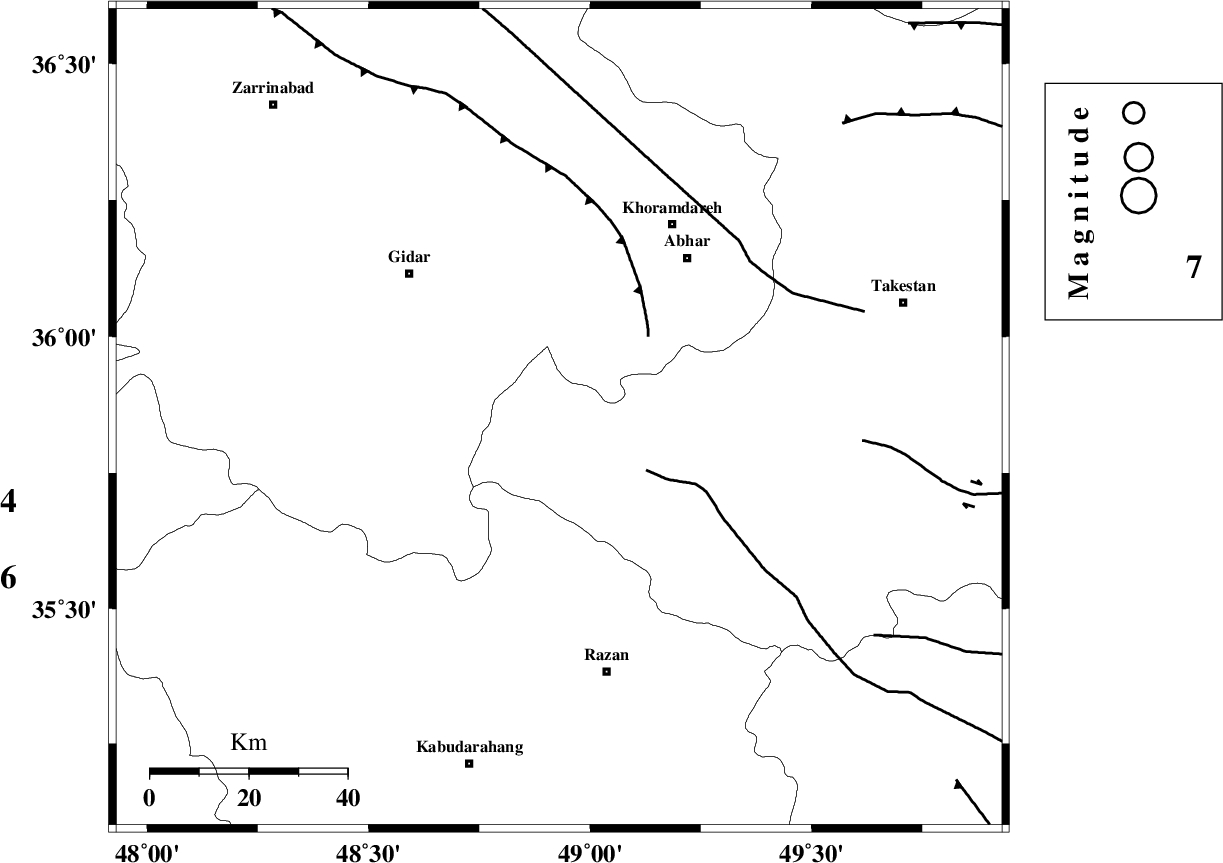
| Region | Ghazvin Province, 53 km North-West of Razan |
Nearest Cities |
|
| 30 km North East of Kahla, Zanjan Province | |
| 32 km South of Kineh vars, Zanjan Province | |
| 34 km South West of Darsajin, Zanjan Province | |
| 34 km North West of Ab-e garm, Ghazvin Province | |
| 35 km South West of Khalifeh hesar, Zanjan Province | |
| Depth | 15 km |
| Agency | |
Faults within 150 km: |
|
| KUSHK_E_NOSRAT_F (Length: 230 km) , Distance to epicenter: 21 km | |
| SOLTANIYEH_F (Length: 119 km) , Distance to epicenter: 25 km | |
| ZANJAN_F (Length: 137 km) , Distance to epicenter: 50 km | |
| Number of Phases | 6 |
| RMS | 0.4 |
| Number of Stations | 5 |
| Error in Latitude | >4.9 km |
| Error in Longitude | 4.5 km |
| Error in Depth | 12.5 km |
Download waveform in seisan format
to download seisan software Click here
to access information about IIEES stations Click here
Amplitude | ||||||||
| UID | Agency | Station | Component | Amplitude | Period | Arrival Time | Proccessing Time | Signal Clip |
| 59447 | IIEES | SNGE | E | 141.4 | 0.21 | 2009-12-08 13:04:27 | 2010-02-08 11:55:00 | n |
| 59448 | IIEES | SNGE | N | 200.7 | 0.53 | 2009-12-08 13:04:28 | 2010-02-08 11:55:00 | n |
| 59449 | IIEES | KHMZ | E | 56.6 | 1.97 | 2009-12-08 13:04:52 | 2010-02-08 11:55:00 | n |
| 59450 | IIEES | KHMZ | N | 54.2 | 1.41 | 2009-12-08 13:04:54 | 2010-02-08 11:55:00 | n |
Phase | ||||||||||||
| Agency | Station | Component | Phase Type | Phase Quality | First Motion | Observed Arrival Time | Time Residual | Loc. Flag | Input Weight | Distance | Azimuth | |
| IIEES | ZNJK | Z | Pg | E | 2009-12-08 13:03:55 | 0 | y | 93.7 | 346 | |||
| IIEES | SNGE | Z | Pg | E | 2009-12-08 13:04:07 | 0.3 | y | 167 | 240 | |||
| IIEES | SNGE | N | Sg | E | 2009-12-08 13:04:26 | -0.3 | y | 167 | 240 | |||
| IIEES | ASAO | Z | Pg | E | 2009-12-08 13:04:07 | -0.4 | y | 175 | 145 | |||
| IIEES | CHTH | Z | Pg | E | 2009-12-08 13:04:11 | -0.2 | y | 198 | 88 | |||
| IIEES | KHMZ | Z | Pn | E | 2009-12-08 13:04:19 | 0.7 | y | 252 | 158 | |||