
Magnitude |
:2.8 |
| Date & Time (UTC) | 2009-11-19 12:24:33.6 |
| Date & Time (Local) | 1388/8/28 15:54:33.6 |
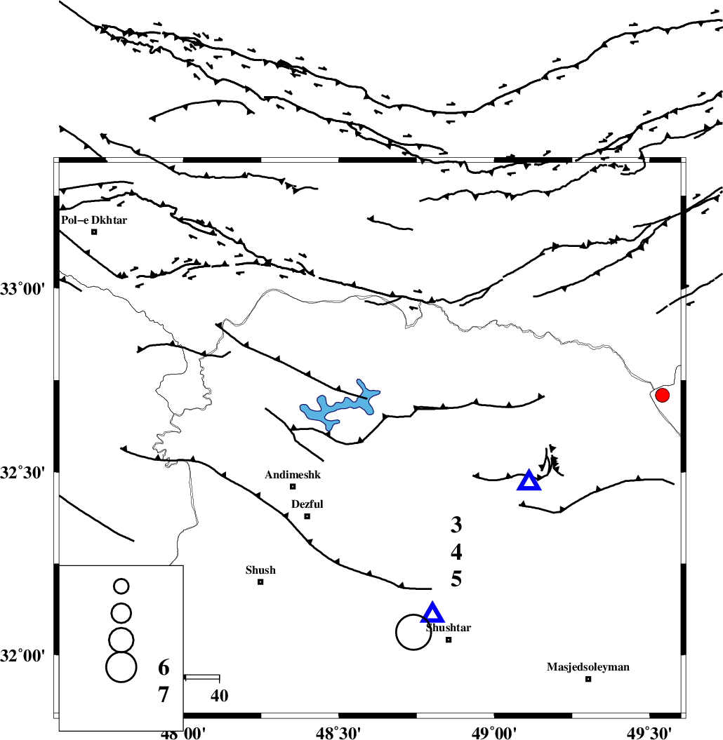
| Location | Lat:32.59 Lon: 48.6 |
| Region | Khoozestan Province, 27 km North-East of Andimeshk |
Nearest Cities |
|
| 23 km North of Mahur berenji, Khoozestan Province | |
| 24 km North West of Sardasht, Khoozestan Province | |
| 27 km North East of Andimeshk, Khoozestan Province | |
| 30 km North East of Dezful, Khoozestan Province | |
| 30 km South West of Shuy, Khoozestan Province | |
| Depth | 17 km |
| Agency | |
Faults within 150 km: |
|
| DEZFUL_EMBAYMENT (Length: 228 km) , Distance to epicenter: 14 km | |
| BALARUD_F_Z3 (Length: 53 km) , Distance to epicenter: 22 km | |
| BALARUD_F_Z2 (Length: 58 km) , Distance to epicenter: 24 km | |
| Number of Phases | 5 |
| RMS | 0 |
| Number of Stations | 4 |
| Error in Latitude | >3 km |
| Error in Longitude | 3.5 km |
| Error in Depth | 5.1 km |
Download waveform in seisan format
to download seisan software Click here
to access information about IIEES stations Click here
Amplitude | ||||||||
| UID | Agency | Station | Component | Amplitude | Period | Arrival Time | Proccessing Time | Signal Clip |
| 59229 | IIEES | ASAO | N | 55.4 | 0.48 | 2009-11-19 12:25:50 | 2010-02-08 11:55:00 | n |
| 59230 | IIEES | ASAO | E | 53.5 | 0.44 | 2009-11-19 12:25:50 | 2010-02-08 11:55:00 | n |
| 59231 | IIEES | SNGE | E | 33.1 | 0.48 | 2009-11-19 12:26:05 | 2010-02-08 11:55:00 | n |
| 59232 | IIEES | SNGE | N | 28.4 | 0.4 | 2009-11-19 12:26:07 | 2010-02-08 11:55:00 | n |
Phase | ||||||||||||
| Agency | Station | Component | Phase Type | Phase Quality | First Motion | Observed Arrival Time | Time Residual | Loc. Flag | Input Weight | Distance | Azimuth | |
| IIEES | KHMZ | Z | Pg | E | 2009-11-19 12:25:03 | 0 | y | 180 | 45 | |||
| IIEES | ASAO | Z | Pn | E | 2009-11-19 12:25:12 | 0 | y | 255 | 31 | |||
| IIEES | ASAO | E | Sg | E | 2009-11-19 12:25:45 | 0 | y | 255 | 31 | |||
| IIEES | SNGE | Z | Pn | E | 2009-11-19 12:25:18 | 0 | y | 301 | 338 | |||
| IIEES | NASN | Z | Pn | E | 2009-11-19 12:25:30 | 0 | y | 395 | 85 | |||