
Magnitude |
:2.8 |
| Date & Time (UTC) | 2009-09-29 15:28:50.9 |
| Date & Time (Local) | 1388/7/7 18:58:50.9 |
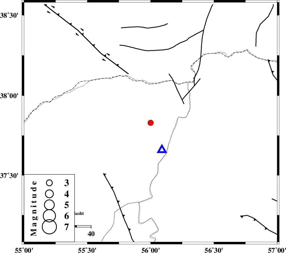
| Location | Lat:37.83 Lon: 56 |
| Region | Golestan Province, 67 km North-East of Kalaleh |
Nearest Cities |
|
| 9 km of Moravehtappeh, Golestan Province | |
| 22 km North of Golidagh, Golestan Province | |
| 25 km West of Qazanqayeh, Golestan Province | |
| 30 km North West of Garmab, Khorasan(north) Province | |
| 44 km South East of Karand, Golestan Province | |
| Depth | 15 km |
| Agency | |
Faults within 150 km: |
|
| ROBATE_QARABIL_F (Length: 168 km) , Distance to epicenter: 69 km | |
| JAJARAM_F (Length: 77 km) , Distance to epicenter: 100 km | |
| ESFARAYEN_F (Length: 111 km) , Distance to epicenter: 101 km | |
| Number of Phases | 4 |
| RMS | 0.2 |
| Number of Stations | 3 |
| Error in Latitude | >4.3 km |
| Error in Longitude | 7 km |
| Error in Depth | 0 km |
Download waveform in seisan format
to download seisan software Click here
to access information about IIEES stations Click here
Amplitude | ||||||||
| UID | Agency | Station | Component | Amplitude | Period | Arrival Time | Proccessing Time | Signal Clip |
| 58712 | IIEES | MRVT | E | 2709.7 | 0.21 | 2009-09-29 15:28:59 | 2009-10-25 09:10:00 | n |
| 58713 | IIEES | BJRD | E | 136.5 | 0.61 | 2009-09-29 15:29:35 | 2009-10-25 09:10:00 | n |
Phase | ||||||||||||
| Agency | Station | Component | Phase Type | Phase Quality | First Motion | Observed Arrival Time | Time Residual | Loc. Flag | Input Weight | Distance | Azimuth | |
| IIEES | MRVT | Z | Pg | E | 2009-09-29 15:28:55 | -0.3 | y | 20.6 | 157 | |||
| IIEES | MRVT | E | Sg | E | 2009-09-29 15:28:58 | 0 | y | 20.6 | 157 | |||
| IIEES | BJRD | Z | Pg | E | 2009-09-29 15:29:12 | 0.1 | y | 125 | 96 | |||
| IIEES | SHRO | Z | Pg | E | 2009-09-29 15:29:24 | 0.2 | y | 202 | 180 | |||