
Magnitude |
:3.8 |
| Date & Time (UTC) | 2010-03-19 15:03:52.2 |
| Date & Time (Local) | 1388/12/28 18:33:52.2 |
| Location | Lat:36.3 Lon: 57.04 |
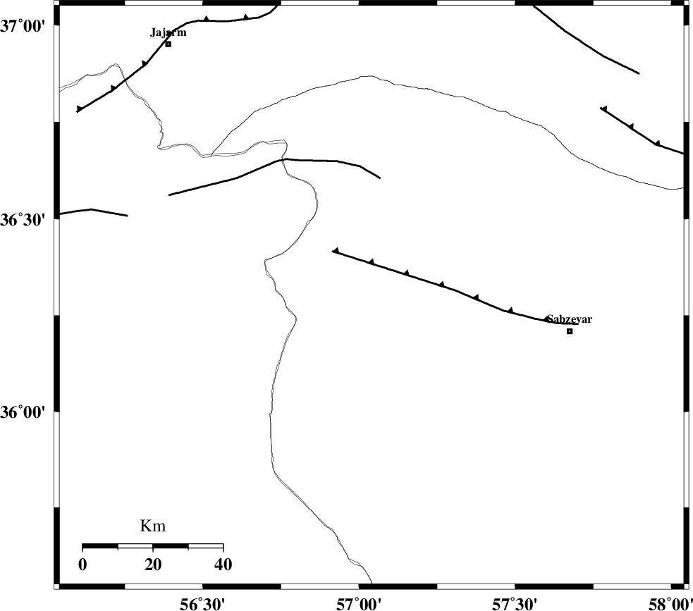
| Region | Khorasan(center) Province, 58 km West of Sabzevar |
Nearest Cities |
|
| 3 km of Sadkharu, Khorasan(center) Province | |
| 15 km East of Davarzan, Khorasan(center) Province | |
| 28 km North West of Rivand, Khorasan(center) Province | |
| 34 km South East of Frumad, Semnan Province | |
| 35 km South West of Abuchenari, Khorasan(center) Province | |
| Depth | 14 km |
| Agency | |
Faults within 150 km: |
|
| SABZEVAR_F (Length: 81 km) , Distance to epicenter: 17 km | |
| JOGHATAI_F (Length: 70 km) , Distance to epicenter: 34 km | |
| MEYAMEY_F (Length: 141 km) , Distance to epicenter: 74 km | |
| Number of Phases | 6 |
| RMS | 0.1 |
| Number of Stations | 5 |
| Error in Latitude | >1 km |
| Error in Longitude | 3.7 km |
| Error in Depth | 3.8 km |
Download waveform in seisan format
to download seisan software Click here
to access information about IIEES stations Click here
Amplitude | ||||||||
| UID | Agency | Station | Component | Amplitude | Period | Arrival Time | Proccessing Time | Signal Clip |
| 57270 | IIEES | MRVT | E | 1291.2 | 0.56 | 2010-03-19 15:04:50 | 2010-03-19 03:35:00 | n |
| 57271 | IIEES | MRVT | N | 874.4 | 0.48 | 2010-03-19 15:04:51 | 2010-03-19 03:35:00 | n |
Phase | ||||||||||||
| Agency | Station | Component | Phase Type | Phase Quality | First Motion | Observed Arrival Time | Time Residual | Loc. Flag | Input Weight | Distance | Azimuth | |
| IIEES | BJRD | Z | Pg | E | 2010-03-19 15:04:18 | -0.1 | y | 159 | 12 | |||
| IIEES | BJRD | N | Sg | E | 2010-03-19 15:04:38 | 0.1 | y | 159 | 12 | |||
| IIEES | TABS | Z | Pn | E | 2010-03-19 15:04:36 | -0.1 | y | 294 | 179 | |||
| IIEES | TABS | N | Sg | E | 2010-03-19 15:05:14 | 0 | y | 294 | 179 | |||
| IIEES | SHRT | Z | P | E | 2010-03-19 15:04:51 | 0.1 | y | 418 | 134 | |||
| IIEES | DAMV | Z | P | E | 2010-03-19 15:04:57 | 0.1 | y | 463 | 262 | |||