
Magnitude |
:2.9 |
| Date & Time (UTC) | 2010-03-04 22:43:17.3 |
| Date & Time (Local) | 1388/12/14 02:13:17.3 |
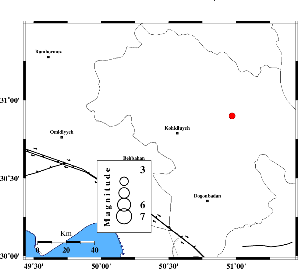
| Location | Lat:30.74 Lon: 50.44 |
| Region | Kohkiluieh va boyerahmad Province, 13 km West of Dehdasht |
Nearest Cities |
|
| 13 km West of Dehdasht, Kohkiluieh va boyerahmad Province | |
| 18 km North East of Mansuriyeh, Khoozestan Province | |
| 25 km North East of Behbahan, Khoozestan Province | |
| 25 km North East of Dodange-ye bozorg, Khoozestan Province | |
| 27 km South of Lendeh, Kohkiluieh va boyerahmad Province | |
| Depth | 14 km |
| Agency | |
Faults within 150 km: |
|
| MFF4 (Length: 62 km) , Distance to epicenter: 15 km | |
| MISHAN_F (Length: 76 km) , Distance to epicenter: 27 km | |
| AGHAJARI_F (Length: 88 km) , Distance to epicenter: 56 km | |
| Number of Phases | 6 |
| RMS | 0.1 |
| Number of Stations | 4 |
| Error in Latitude | >3.5 km |
| Error in Longitude | 2.1 km |
| Error in Depth | 6.8 km |
Download waveform in seisan format
to download seisan software Click here
to access information about IIEES stations Click here
Amplitude | ||||||||
| UID | Agency | Station | Component | Amplitude | Period | Arrival Time | Proccessing Time | Signal Clip |
| 56710 | IIEES | SHGR | N | 120.1 | 0.52 | 2010-03-04 22:44:29 | 2010-03-05 02:06:00 | n |
| 56711 | IIEES | SHGR | E | 138.5 | 0.6 | 2010-03-04 22:44:31 | 2010-03-05 02:06:00 | n |
| 56712 | IIEES | GHIR | N | 15.8 | 0.68 | 2010-03-04 22:45:17 | 2010-03-05 02:06:00 | n |
| 56713 | IIEES | GHIR | E | 23.1 | 0.64 | 2010-03-04 22:45:27 | 2010-03-05 02:06:00 | n |
Phase | ||||||||||||
| Agency | Station | Component | Phase Type | Phase Quality | First Motion | Observed Arrival Time | Time Residual | Loc. Flag | Input Weight | Distance | Azimuth | |
| IIEES | SHGR | N | Pn | E | 2010-03-04 22:43:51 | -0.2 | y | 217 | 315 | |||
| IIEES | SHGR | N | Sg | E | 2010-03-04 22:44:18 | 0.1 | y | 217 | 315 | |||
| IIEES | NASN | Z | Pn | E | 2010-03-04 22:44:05 | 0.3 | y | 320 | 44 | |||
| IIEES | NASN | E | Sg | E | 2010-03-04 22:44:47 | -0.1 | y | 320 | 44 | |||
| IIEES | KHMZ | Z | Pn | E | 2010-03-04 22:44:06 | 0 | y | 335 | 352 | |||
| IIEES | GHIR | E | Pn | E | 2010-03-04 22:44:10 | 0 | y | 368 | 137 | |||