
Magnitude |
:3.1 |
| Date & Time (UTC) | 2010-02-20 05:21:54.4 |
| Date & Time (Local) | 1388/12/1 08:51:54.4 |
| Location | Lat:37.26 Lon: 56.94 |
| Region | 32 km South of Ashkhaneh, Khorasan(north) Province |
Nearest Cities |
|
| 13 km of Shogan, Khorasan(north) Province | |
| 27 km North West of Cheharborj, Khorasan(north) Province | |
| 32 km South of Ashkhaneh, Khorasan(north) Province | |
| 38 km North West of Zarqabad, Khorasan(north) Province | |
| 42 km South West of Void, Khorasan(north) Province | |
| Depth | 23 km |
| Agency | |
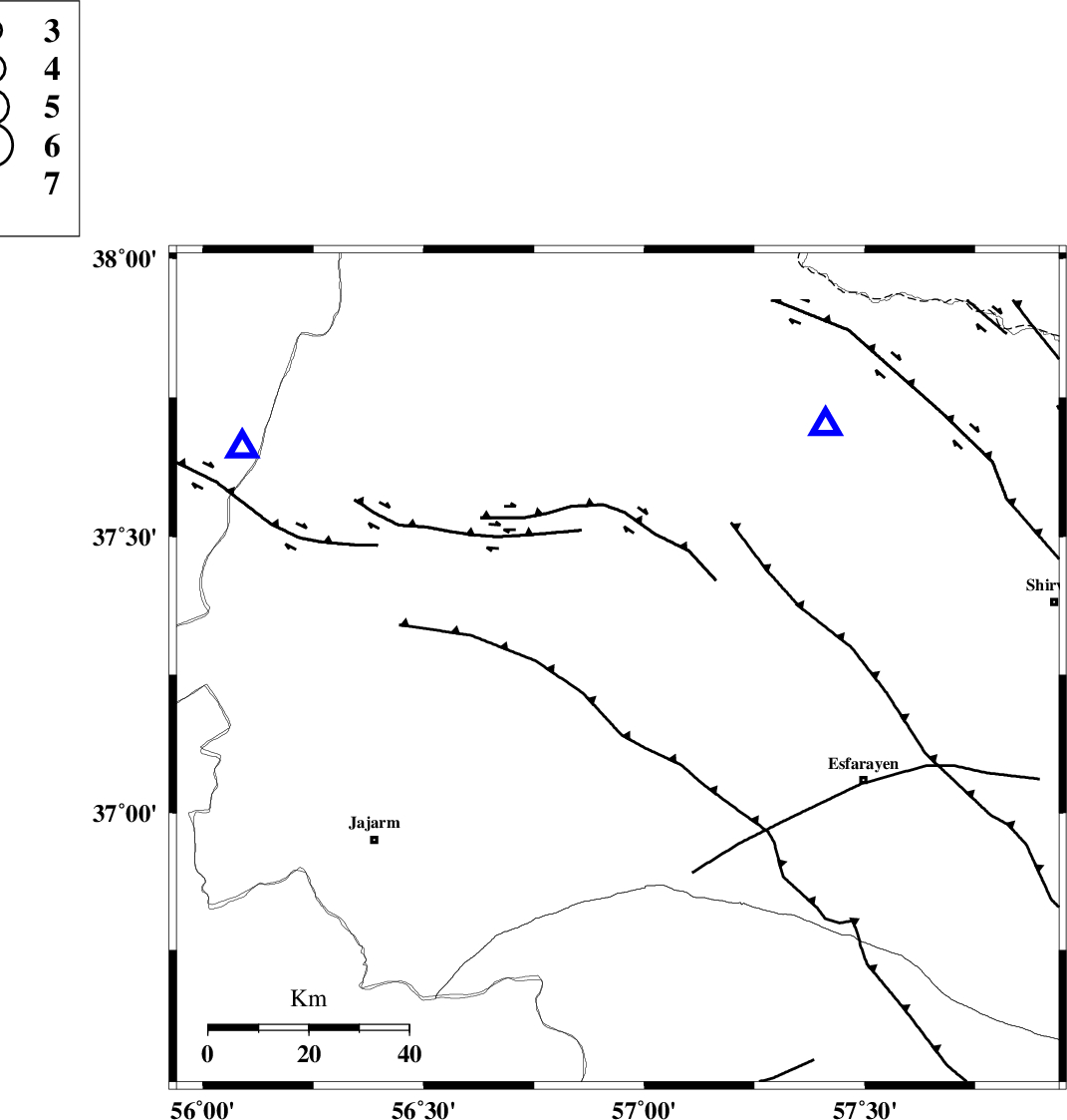
Faults within 150 km: |
|
| ESFARAYEN_F (Length: 111 km) , Distance to epicenter: 5 km | |
| ROBATE_QARABIL_F (Length: 168 km) , Distance to epicenter: 12 km | |
| JAJARAM_F (Length: 77 km) , Distance to epicenter: 25 km | |
| Number of Phases | 6 |
| RMS | 0.2 |
| Number of Stations | 5 |
| Error in Latitude | >2.8 km |
| Error in Longitude | 2.7 km |
| Error in Depth | 6.1 km |
Download waveform in seisan format
to download seisan software Click here
to access information about IIEES stations Click here
Amplitude | ||||||||
| UID | Agency | Station | Component | Amplitude | Period | Arrival Time | Proccessing Time | Signal Clip |
| 55770 | IIEES | MRVT | E | 790.9 | 0.49 | 2010-02-20 05:22:22 | 2010-02-20 05:40:00 | n |
| 55771 | IIEES | MRVT | N | 628.2 | 0.49 | 2010-02-20 05:22:22 | 2010-02-20 05:40:00 | n |
| 55772 | IIEES | TABS | N | 34.7 | 0.84 | 2010-02-20 05:23:58 | 2010-02-20 05:40:00 | n |
| 55773 | IIEES | TABS | E | 30.3 | 0.51 | 2010-02-20 05:23:59 | 2010-02-20 05:40:00 | n |
Phase | ||||||||||||
| Agency | Station | Component | Phase Type | Phase Quality | First Motion | Observed Arrival Time | Time Residual | Loc. Flag | Input Weight | Distance | Azimuth | |
| IIEES | BJRD | Z | Pg | E | 2010-02-20 05:22:05 | -0.1 | y | 64.3 | 40 | |||
| IIEES | MRVT | Z | Pg | E | 2010-02-20 05:22:09 | 0.1 | y | 87.1 | 301 | |||
| IIEES | MRVT | N | Sg | E | 2010-02-20 05:22:20 | 0.1 | y | 87.1 | 301 | |||
| IIEES | SHRD | Z | Pg | E | 2010-02-20 05:22:20 | -0.1 | y | 161 | 211 | |||
| IIEES | TABS | Z | Pn | E | 2010-02-20 05:22:51 | 0.2 | y | 401 | 178 | |||
| IIEES | DAMV | Z | Pn | E | 2010-02-20 05:23:00 | -0.3 | y | 480 | 249 | |||