
Magnitude |
:3.2 |
| Date & Time (UTC) | 2009-04-22 13:52:37.2 |
| Date & Time (Local) | 1388/2/2 18:22:37.2 |
| Location | Lat:30.58 Lon: 48.22 |
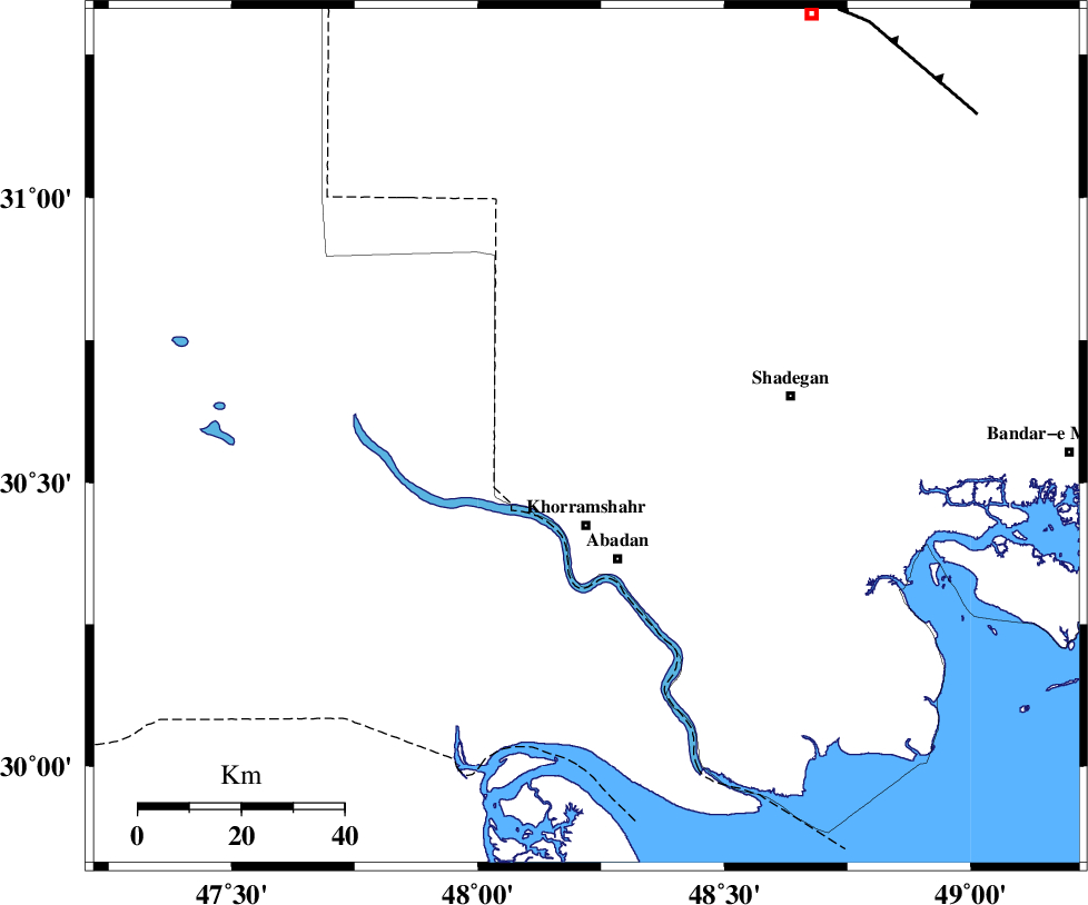
| Region | 16 km North of Khorramshahr, Khoozestan Province |
Nearest Cities |
|
| 14 km North of Polno, Khoozestan Province | |
| 17 km North of Khorramshahr, Khoozestan Province | |
| 25 km North of Abadan, Khoozestan Province | |
| 27 km South West of Darkhovin, Khoozestan Province | |
| 32 km North West of Farrokhzad, Khoozestan Province | |
| Depth | 14 km |
| Agency | |
Faults within 150 km: |
|
| AHVAZ_F (Length: 99 km) , Distance to epicenter: 96 km | |
| AGHAJARI_F (Length: 88 km) , Distance to epicenter: 119 km | |
| Number of Phases | 6 |
| RMS | 0 |
| Number of Stations | 5 |
| Error in Latitude | >2.4 km |
| Error in Longitude | 7.7 km |
| Error in Depth | 4.5 km |
Download waveform in seisan format
to download seisan software Click here
to access information about IIEES stations Click here
Amplitude | ||||||||
| UID | Agency | Station | Component | Amplitude | Period | Arrival Time | Proccessing Time | Signal Clip |
| 52506 | IIEES | SHGR | N | 391.6 | 0.72 | 2009-04-22 13:53:34 | 2009-07-13 01:52:00 | n |
| 52507 | IIEES | SHGR | E | 345.4 | 0.44 | 2009-04-22 13:53:36 | 2009-07-13 01:52:00 | n |
| 52508 | IIEES | GHVR | N | 14.2 | 0.56 | 2009-04-22 13:55:02 | 2009-07-13 01:52:00 | n |
| 52509 | IIEES | GHVR | E | 13.3 | 0.6 | 2009-04-22 13:55:16 | 2009-07-13 01:52:00 | n |
Phase | ||||||||||||
| Agency | Station | Component | Phase Type | Phase Quality | First Motion | Observed Arrival Time | Time Residual | Loc. Flag | Input Weight | Distance | Azimuth | |
| IIEES | SHGR | Z | Pg | E | 2009-04-22 13:53:06 | 0 | y | 179 | 18 | |||
| IIEES | SHGR | N | Sg | E | 2009-04-22 13:53:28 | 0 | y | 179 | 18 | |||
| IIEES | KHMZ | Z | Pn | E | 2009-04-22 13:53:33 | 0 | y | 388 | 25 | |||
| IIEES | NASN | Z | Pn | E | 2009-04-22 13:53:47 | -0.1 | y | 500 | 59 | |||
| IIEES | GHVR | Z | Pn | E | 2009-04-22 13:53:49 | 0 | y | 518 | 32 | |||
| IIEES | GHIR | Z | Pn | E | 2009-04-22 13:53:50 | 0.1 | y | 528 | 118 | |||